
Sunday, October 4, 2009 | Starting Odometer: 143789
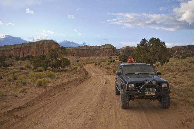
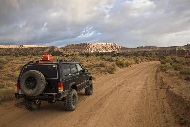
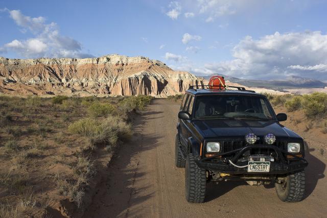
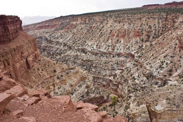
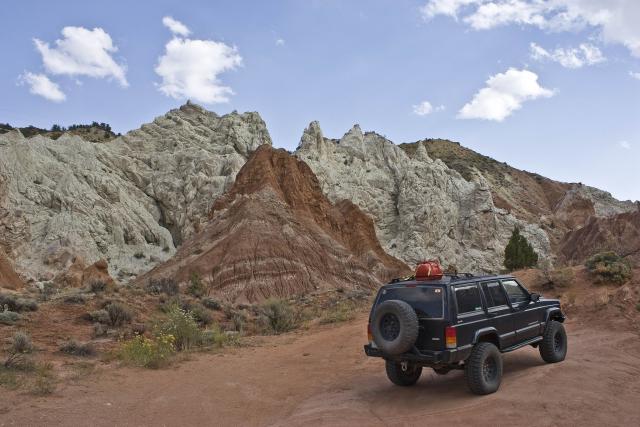
After a pretty decent nights sleep (even though it got pretty windy overnight), I ended up waking around 7:00am. Though the wind had died down by now, it was still pretty cloudy out. I broke down camp and had a quick snack before heading out through Cathedral Valley and Caineville Wash. After making my way though Upper Cathedral Valley that I had visited the evening before, I passed the Baker Ranch Road that could take me to I-70 if I was headed that way (This is a road I will have to come back to explore some more.).
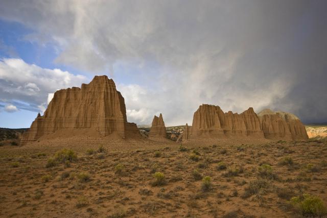
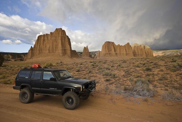
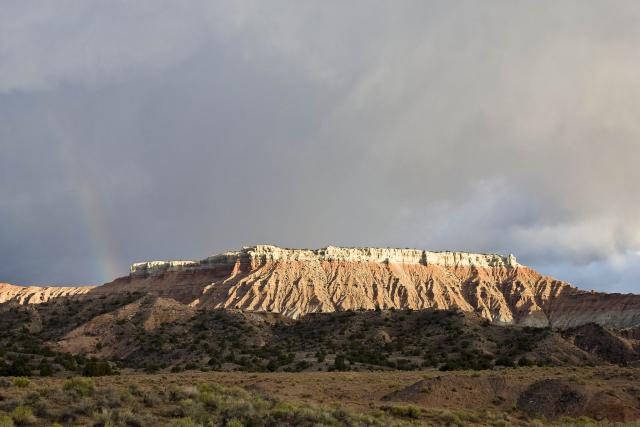
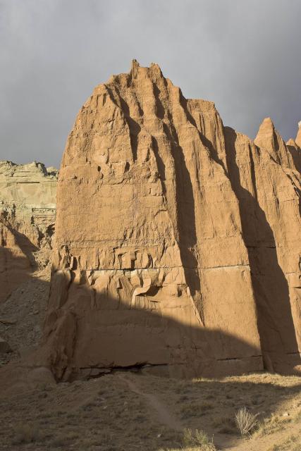
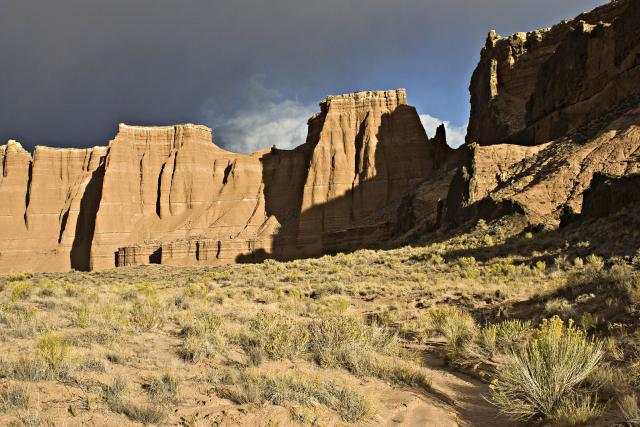
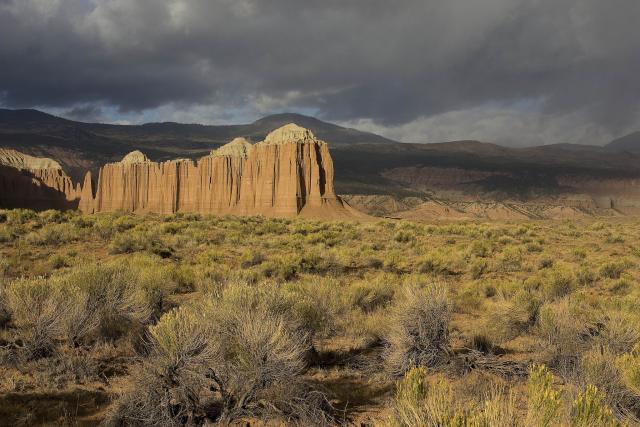
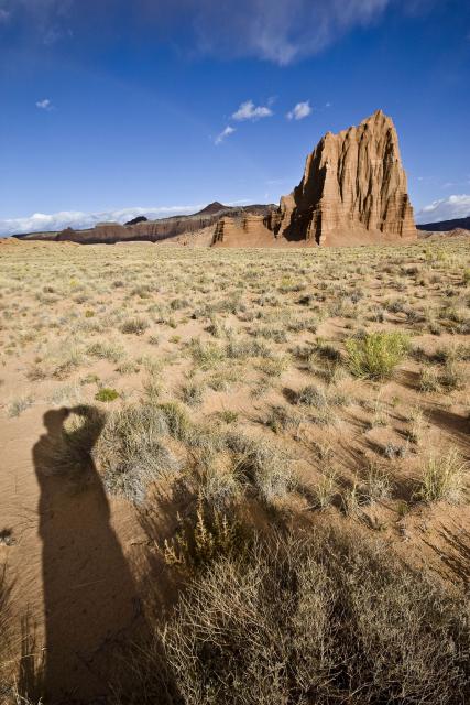
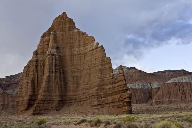
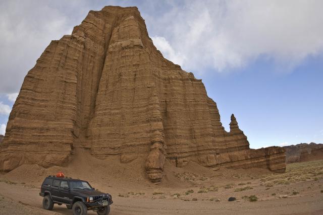
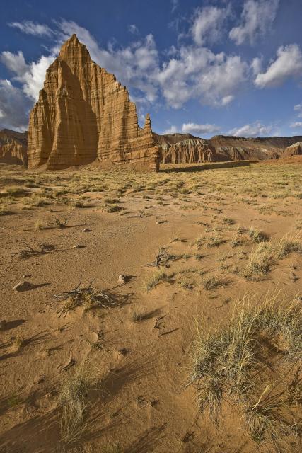
Some more photos from Upper Cathedral Valley
I even caught a rainbow
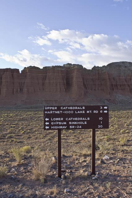
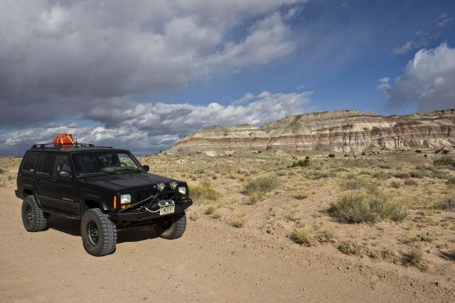
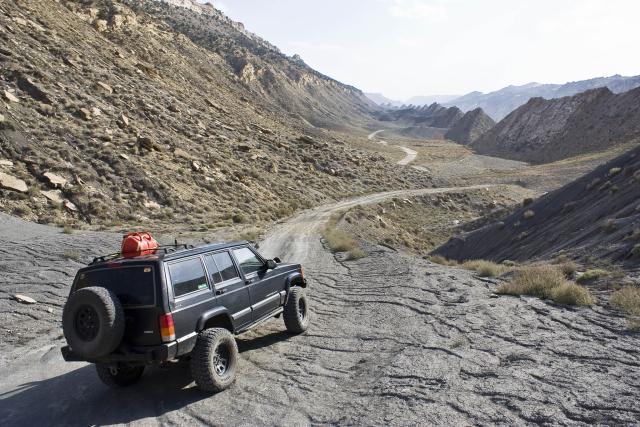
Where to?
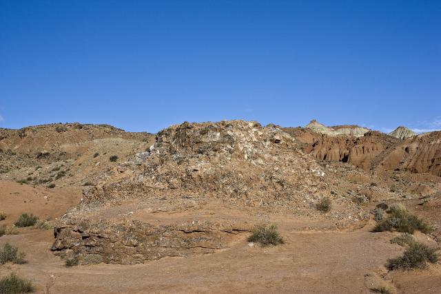
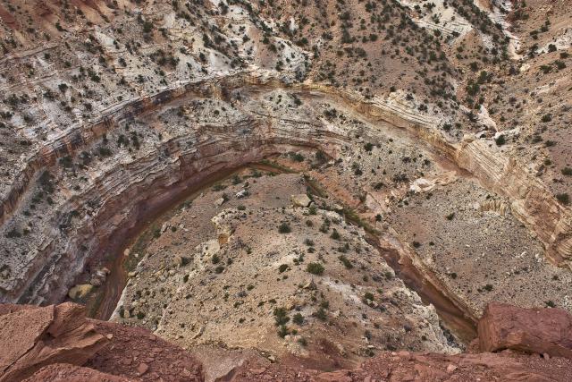
I took the next spur road that lead to the Gypsum Sinkhole. I wasn’t sure what to expect, but after the short hike I was suprised to find a large sinkhole at the base of a tall cliff. Had I known it was going to be this large, I would have brought my wider lens with me 😉 This large pit was formed by the dissolving and draining away of a large gypsum deposit. As I was leaving the canyon that contained the sinkhole, the wind really started to pick up again and started blowing the dust around pretty good, which would continue on and off for much of the rest of the day. It also started to rain off and on for a while.
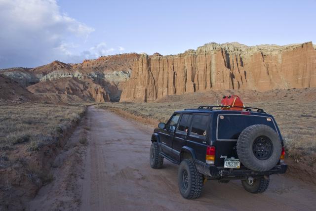
Headed into the canyon with the Gypsum Sinkhole
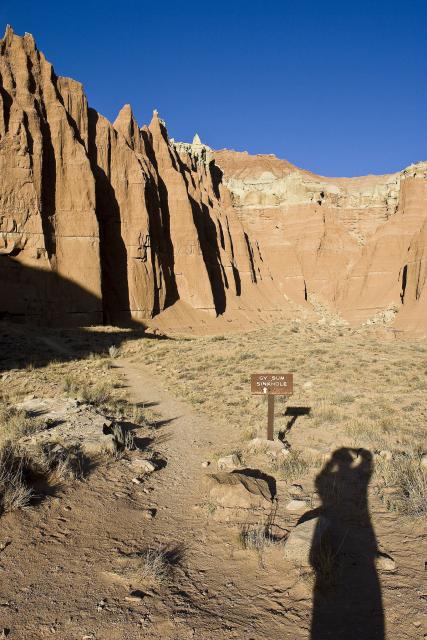
Hard to show just how big and deep it is with any photos
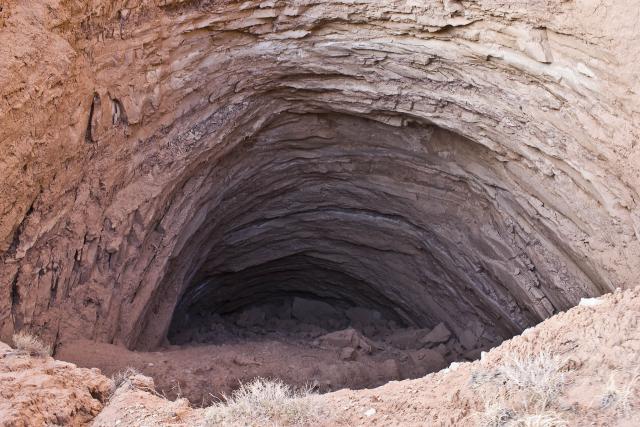
It’s located at the base of this cliff
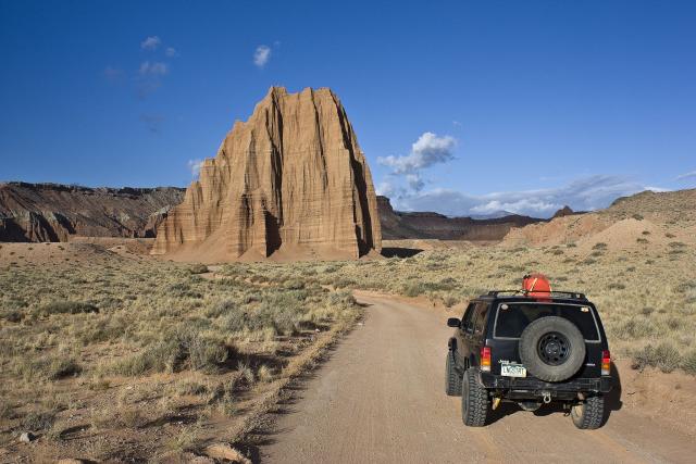
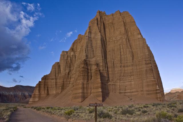
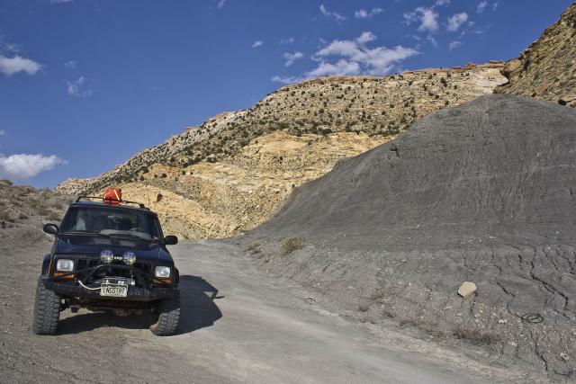
Next on my agenda was a stop at Glass Mountain and the Temple of the Sun and the Moon. Glass Mountain was my first stop, and I was not impressed with it. The I spent some time photographing both the Temple of the Sun and the Temple of the Moon.
Glass Mountain
Temple of the Sun
Temple of the Moon
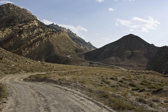
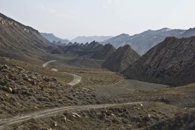
I finished up the loop through Cainville Wash and reached the highway again at Cainville. I headed west again through Capitol Reef National Park and stopped to check out the overlook of the Goosenecks of Sulphur Creek. They were kind of cool, but do not compare to Goosenecks State Park near Mexican Hat.
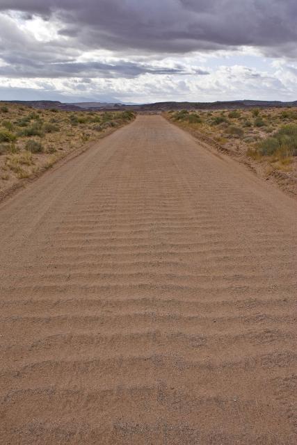
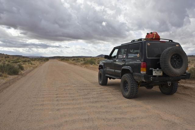
Washboard section of road on the way back to the highway
I continued on and stopped for fuel in Torrey before turning south on UT 12. When I reached Boulder, I ended up taking a driving break and checking out Anasazi State Park, which was pretty similar to Edge of the Cedars in Blanding.
Goosenecks of Sulpher Creek
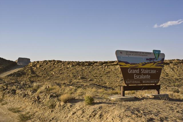
Soon I made my way down ‘The Hogback’ and finally into Escalante. My first stop was the Grand Staircase – Escalante National Monumnet Visitor Center so I could get my backcountry camping permits for the next few nights. Unfortunately, when I was in the parking lot, I noticed that my iPhone was not charging and was almost dead. I needed to figure out a way to charge it so that I could keep in touch with Amanda so she wouldn’t worry about me. I decided to grab some lunch at the Circle D Eatery to figure out what I would do…..of course, this seemed to be the only restaurant open in Escalante on a Sunday. I asked the waitress where my best chances for finding a cable would be for my phone and she informed me that both Cedar City and Page, AZ had Walmarts. Cedar City was out of the way for my plans on this trip, however I was planning on eventually making my way down to Page at some point during the week. Since the weather was still windy and cloudy, I figured it would be a good evening to make my way to Page to get a new cable. After I finished eating my burger and shoestring potatos for lunch, the wind knocked the power out to the restaurant and what seemed like much of Escalante.
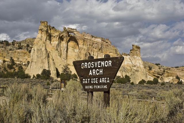
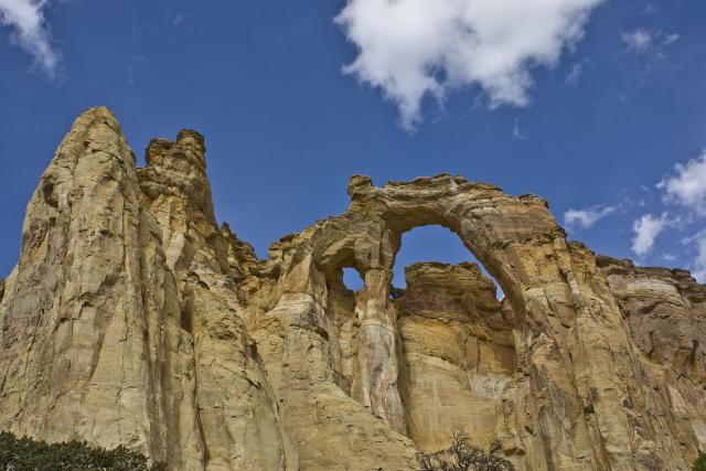
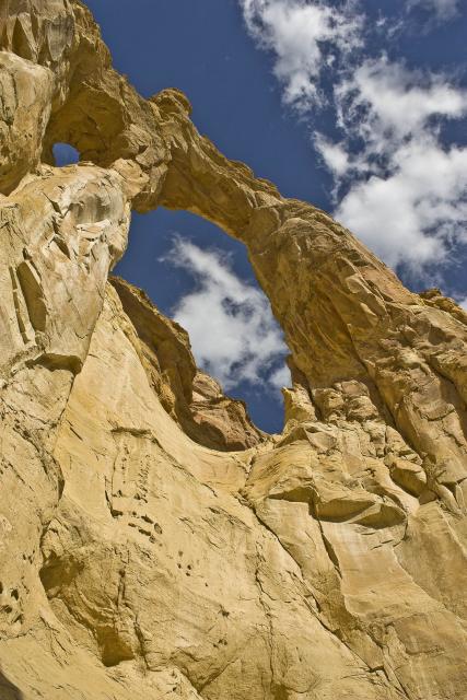
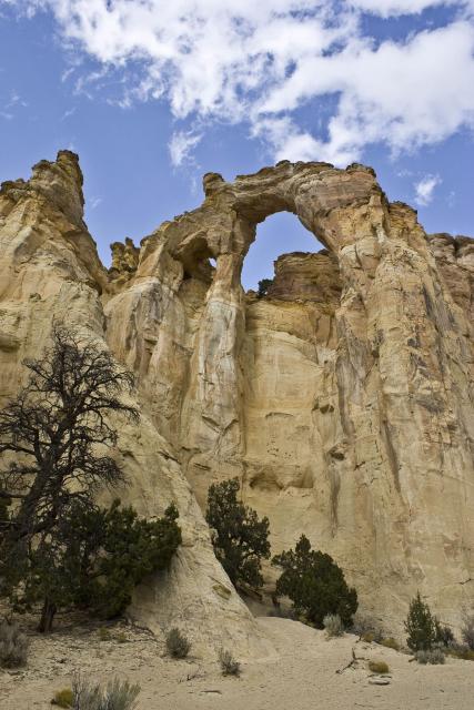
I left the restaurant and headed south to Cannonville where I jumped on the Cottonwood Canyon Road and headed past Kodachrome Basin State Park on my way towards Page. While I decided not to stop at Kodochrome Basin, I did stop at Grosvenor Arch (formerly Butler Arch) for a few photos.
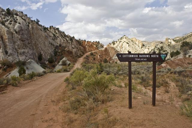
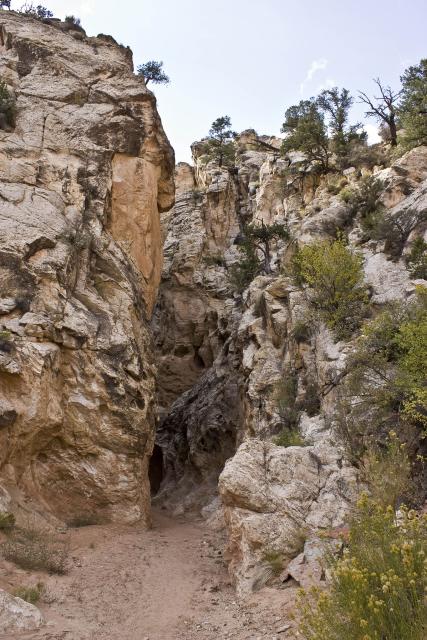
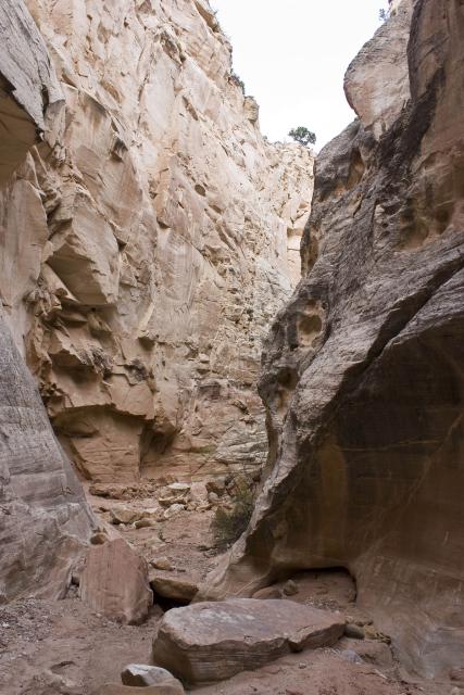
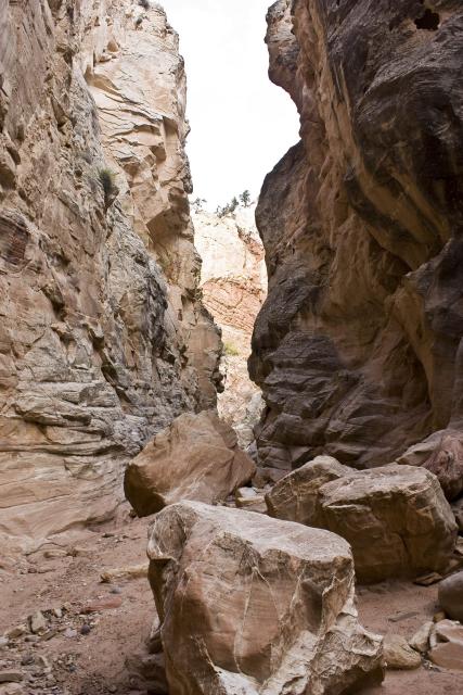
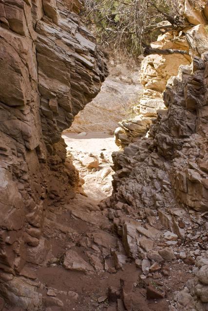
After making my way further down Cottonwood Canyon Road, I decided to take a break from driving and do a little hiking in the Cottonwood Narrows.
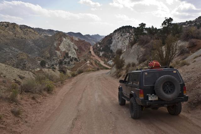
Continuing on, I drove along side the Cockscomb for a while and then along the Paria River before finally reaching US 89.
The Cockscomb
After passing through Big Water and then over the Glen Canyon Dam I finally reached Page. I found the Walmart and got a new cable to charge my phone. Since it was late and still very windy out, I decided it would be best for me to just spend the night in Page and head out in the morning.
Ending Odometer: 144040 | Total Miles: 251