
IntrepidXpedition 2007 | Day 11
Sunday, July 29, 2007
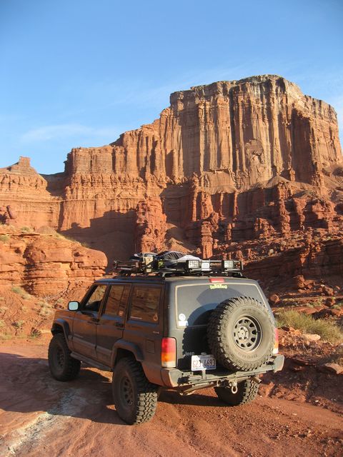
After a good nights sleep it was time to get out and do some more exploring around Moab. My first destination was to head up to Hurrah Pass.
Looking up Kane Creek Canyon at sunrise
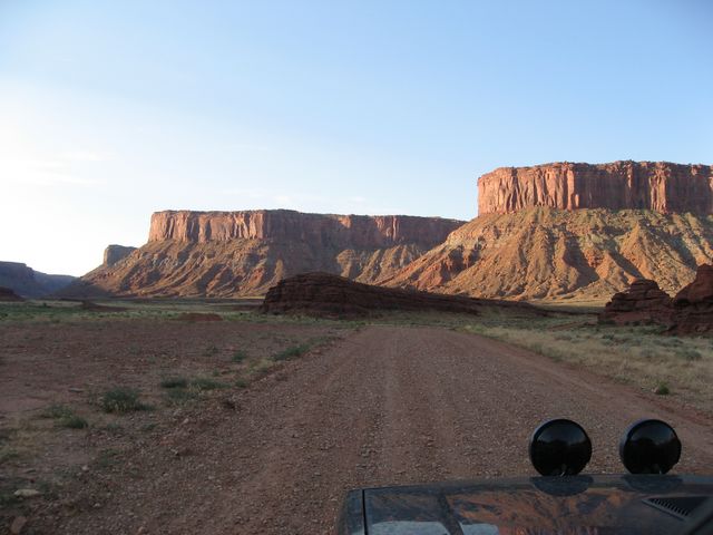
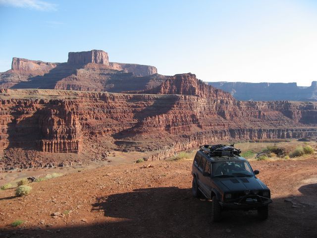
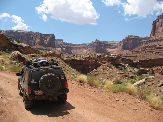
Headed up to Hurrah Pass
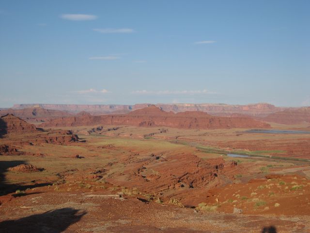
View from Hurrah Pass
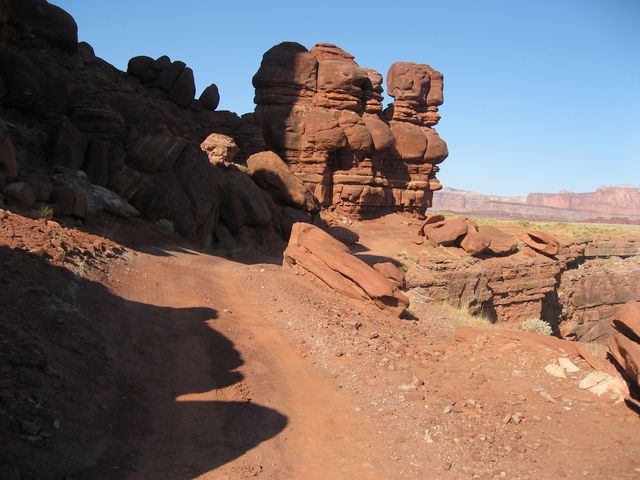
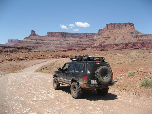
From the pass, I continued on to Chicken Corners. The name of this trail was given by a tour guide whose passengers were ‘chicken’ and preferred to walk around the dangerous area. It should also be noted that this dangerous section of the trail was once more hazardous than it is now.
Chicken Corner
View at the end of Chicken Corners with Dead Horse Point in the distance.
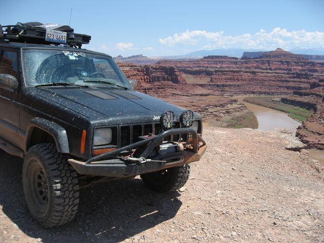
My original plan at this point was to head up Lockhart Basin, but I changed my mind and decided that I did not want to try and rush through the trail in one day. Plus it was pretty hot out and I was alone, so I figured it also might not be a good idea. Instead I headed to the other side of the Colorado River to make my way up the Shafer Trail.
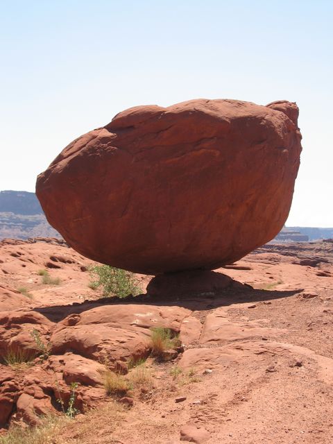
Potash Road
Balanced Rock along the road
I stopped at Thelma and Louise Point overlooking the Colorado.
Soon the trail entered Canyonlands National Park.
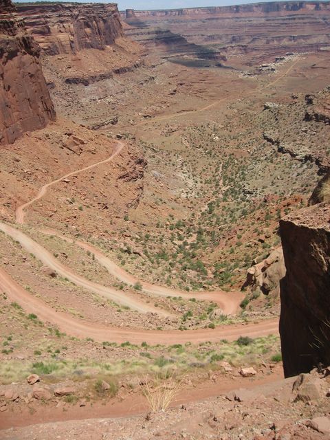
Finally I got to ascend the famous Shafer switchbacks.
Unfortunately, while on the Shafer Trail, the waterpump I had installed in Denver started to leak from the weep hole pretty badly. At this point I decided to head back to town so I could relax for the rest of the day.