Friday – Saturday, December 14-15, 2018
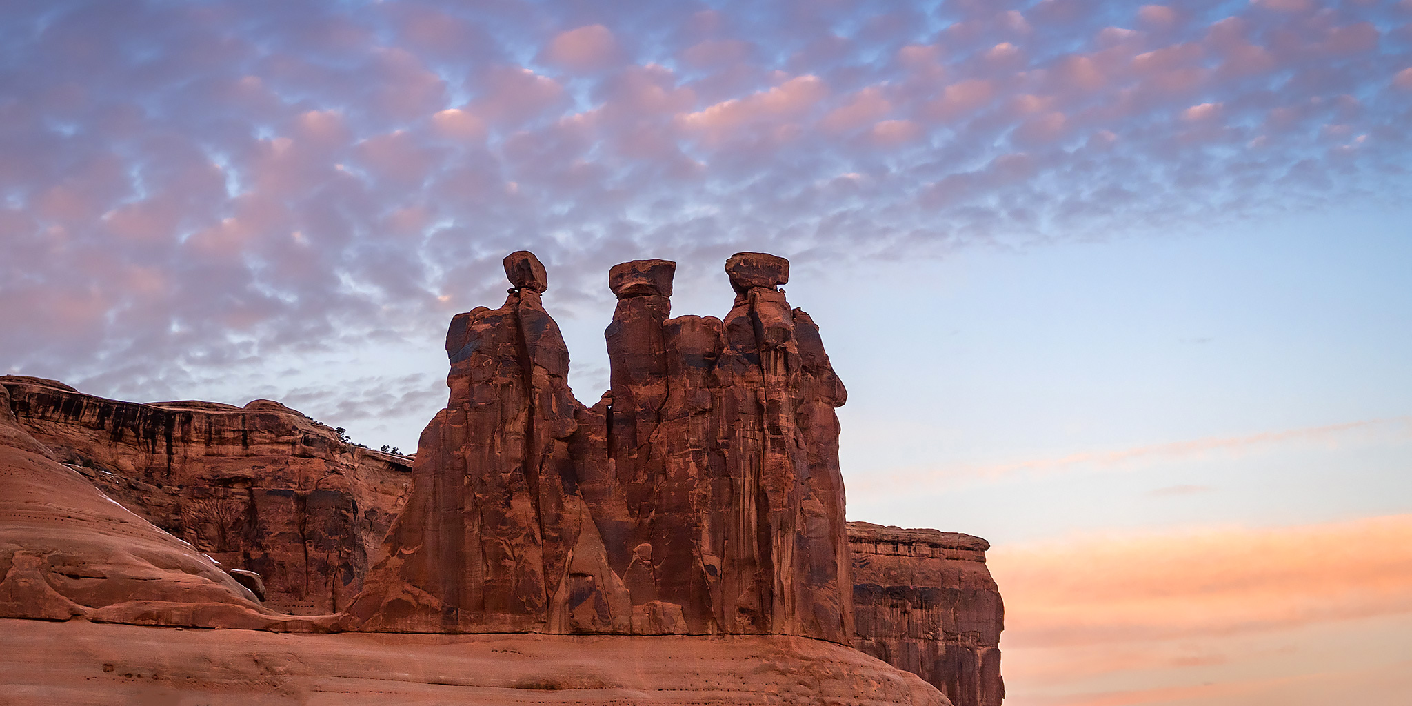
Salt Wash begins its journey near Thompson Springs at the southern end of the Book Cliffs just east of Sego Canyon. From there it meanders generally south across Yellow Cat Flat and joins up with Lost Spring Canyon inside the boundary of Arches National Park. This desert wash eventually passes by the Wolfe Ranch near the popular trailhead for Delicate Arch as it enters Cache Valley and then carves a deep canyon through Dry Mesa just east of The Windows before finally reaching the Colorado River. I have studied this particular canyon on maps over the years and thought about hiking it a number of times before, but I always seem to find somewhere else I’m more interested in going instead. I haven’t found much information about hiking this canyon and wasn’t sure what to expect, but I guess that is what intrigued me about this location in the first place.
1 Comment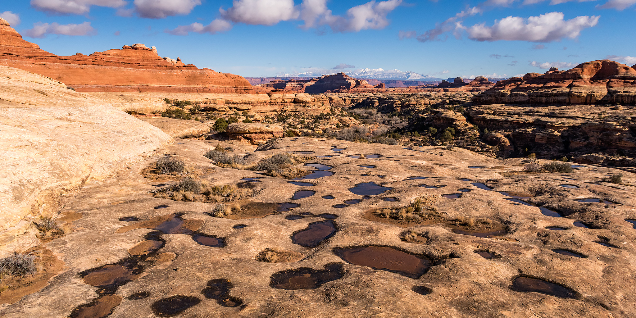