Press "Enter" to skip to content

Tag: sneffels range

Getting Lost in the West End

Silveys Pocket to the Dolores River, Petroglyphs in Paradox & La Sal Creek
Friday – Sunday, April 3-5, 2020

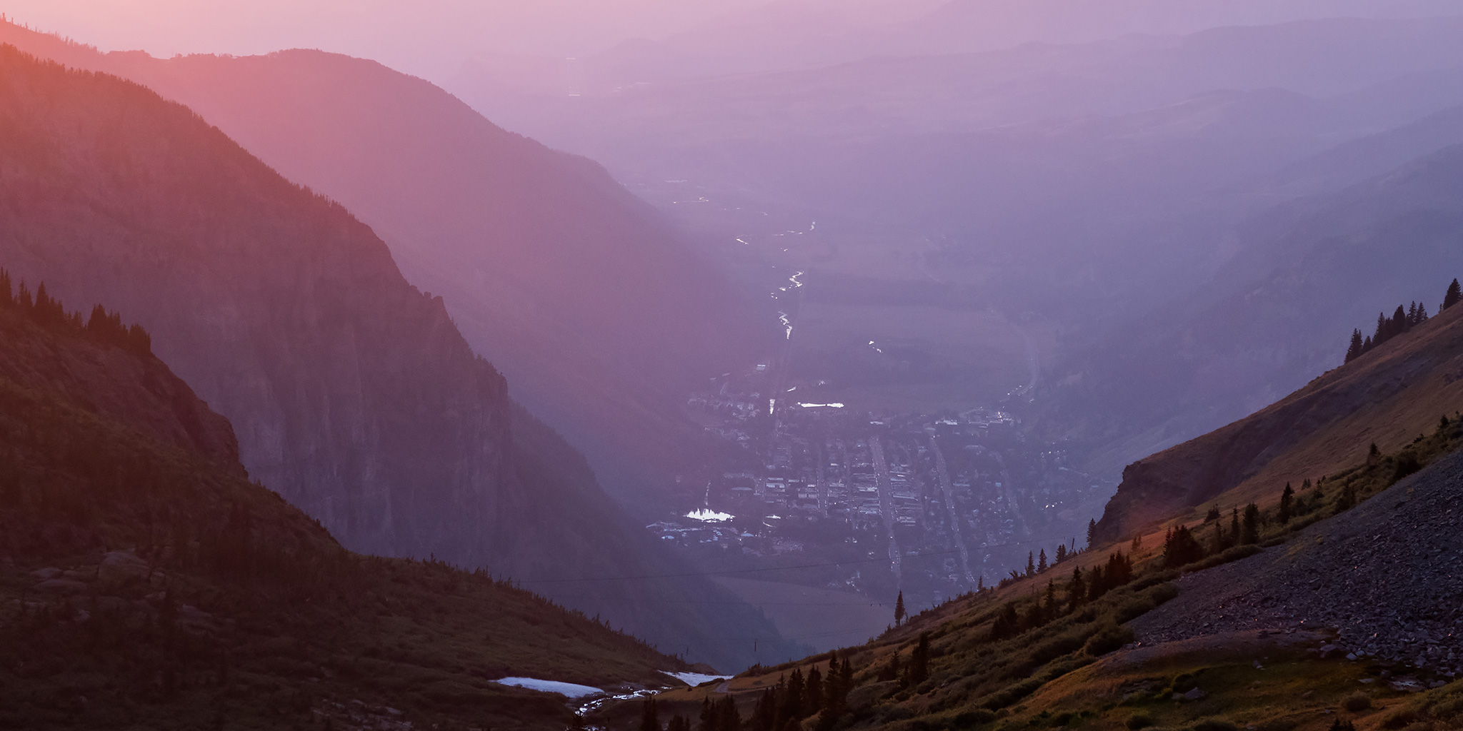
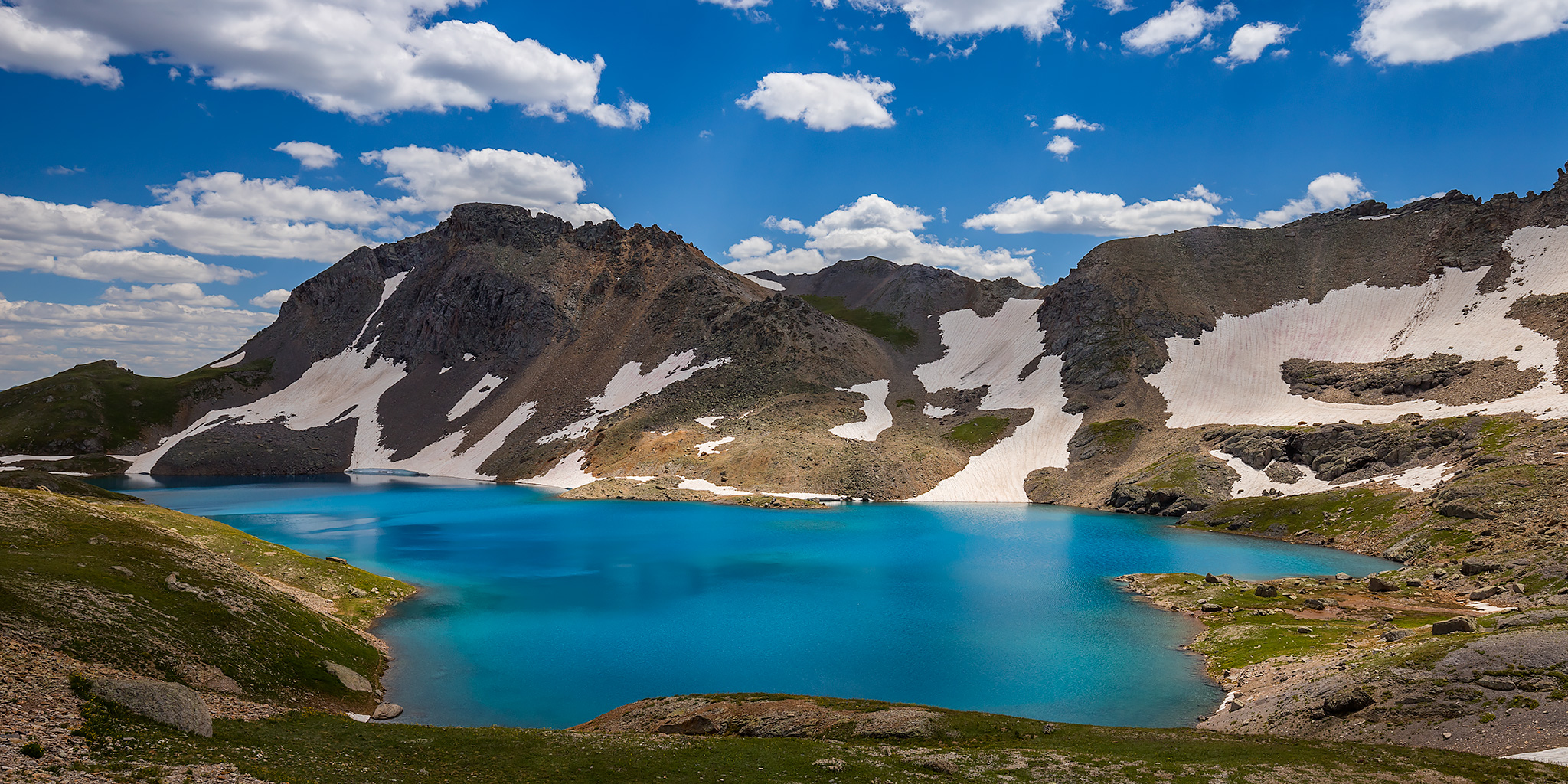
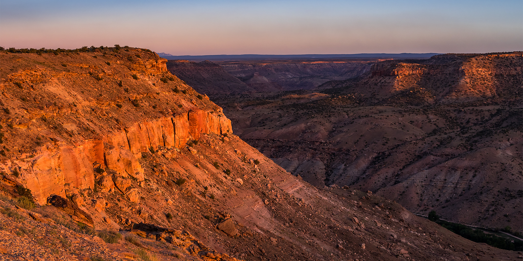
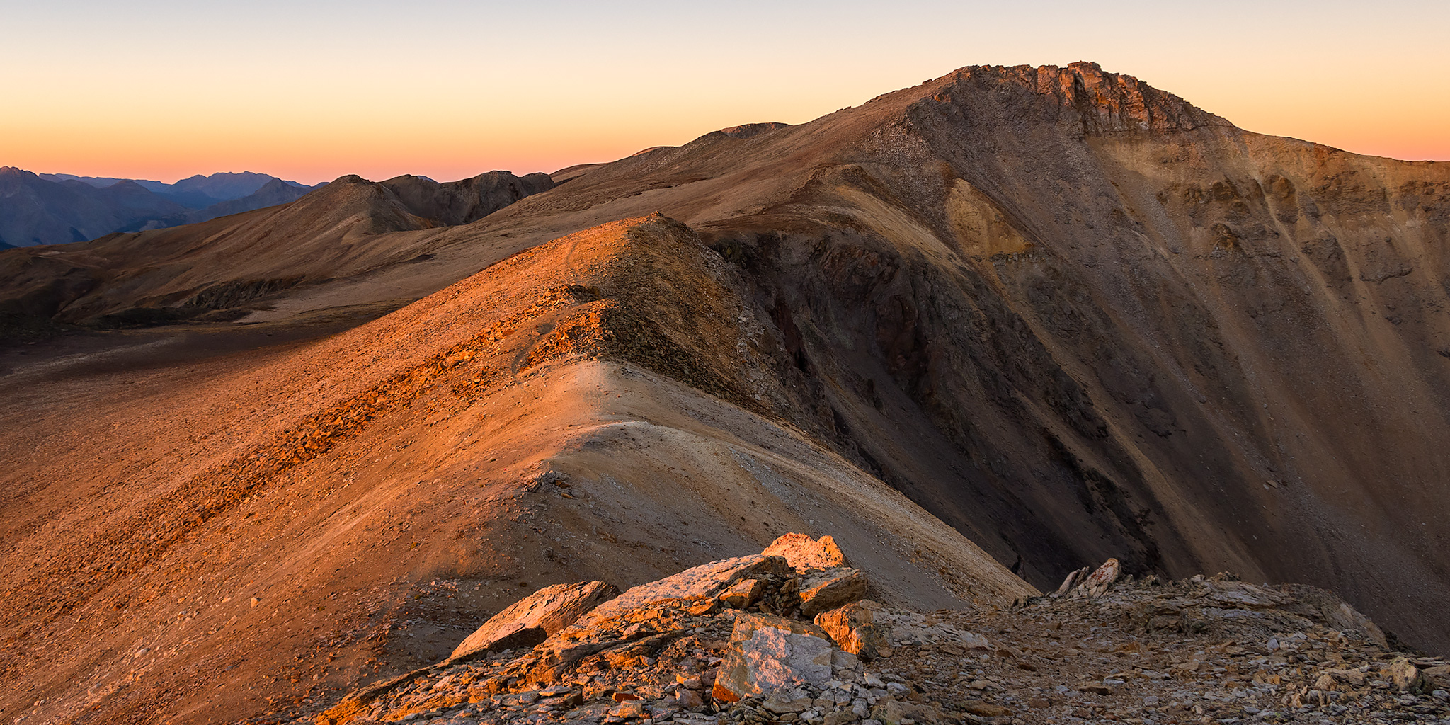
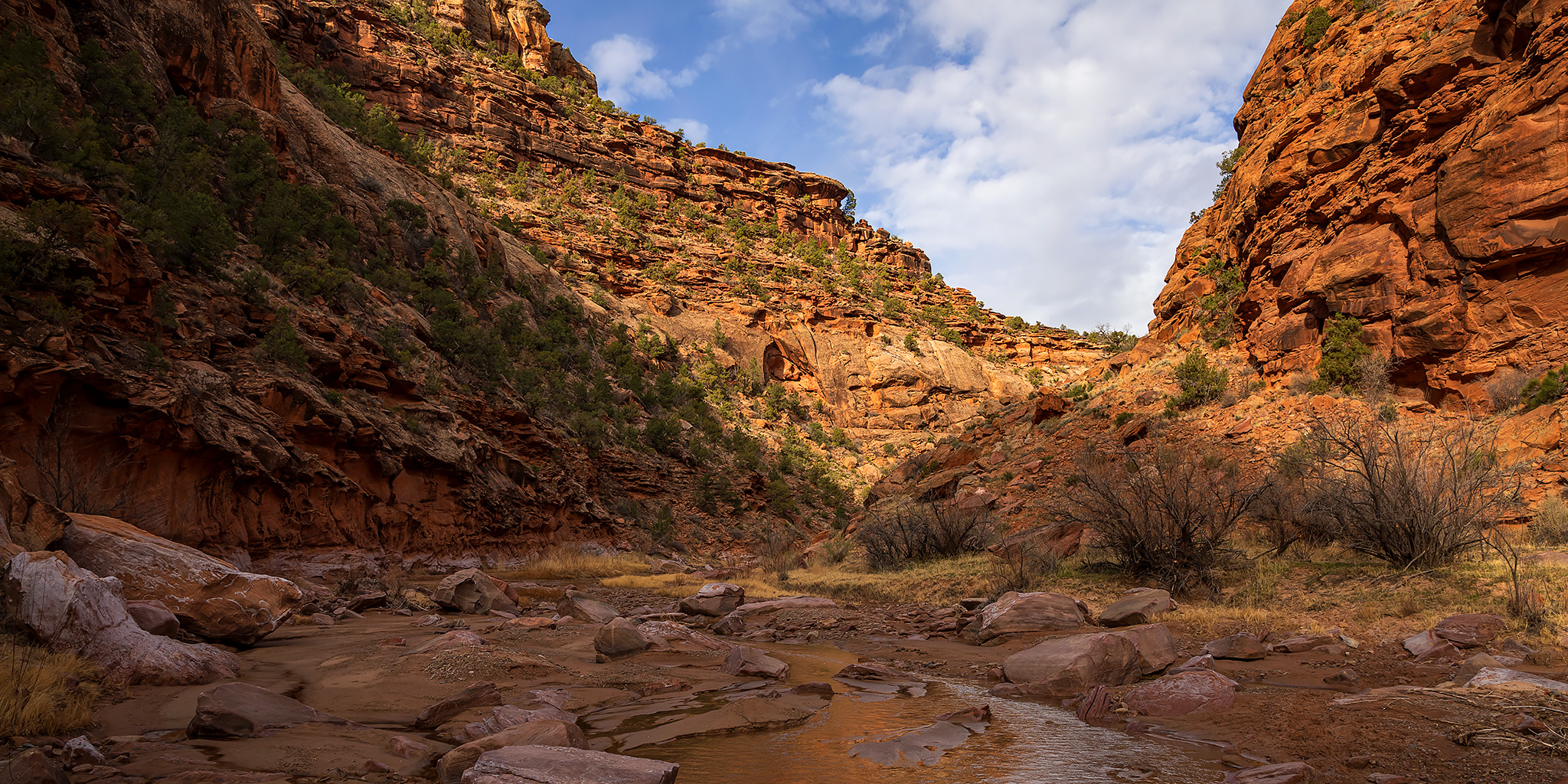
With all of southern Utah essentially shut down to non-locals right now, this weekend I tried to pick one of the more remote areas in western Colorado that wasn’t too far from home to go explore. Ever since I floated through Slick Rock Canyon on the Dolores River last year I have wanted to get back to hike some of the side canyons that we were unable to visit on that trip, so I thought the Dolores River Canyon Wilderness Study Area would be the perfect place to go. I left right from work on Friday and was completely self-contained in my Jeep with food and fuel for the entire weekend so I wouldn’t have to make any stops along the way. I followed the Unaweep-Tabeguache Scenic Byway to Naturita and then headed over to Big Gypsum Valley where I crossed the bridge over the Dolores River beyond the boat ramp and found a place to camp along the rim of Silveys Pocket.

1 Comment

Towering Over Telluride: Ajax Peak

Friday – Saturday, September 13-14, 2019

This weekend Diane and I had another concert to go to on Saturday evening, so just like when I climbed Red Mountain #2 a few weeks ago, I decided to climb another easier peak in the San Juan Mountains on Saturday morning so that I could return home in the early afternoon. I’ve had Ajax Peak (12,785) near Telluride on my to-do list for a while, and that looked like it would be the perfect quick and easy mountain to summit this weekend. Ajax Peak may not be a very high peak by Colorado standards, but it is a prominent sight when you are in the town of Telluride, and I believe it is also a popular hike from town since there is a good trail all the way up to the summit. The peak sits along the ridge separating Ingram Basin from Savage Basin and is down below Telluride Peak (13,509), which I climbed at the end of last summer. Of course, I was not planning on climbing Ajax Peak from Telluride like most people do, instead I planned to drive over Black Bear Pass and spend the night in Ingram Basin where I would start my hike in the morning.

Leave a Comment

Grand Basin Traverse: The Basins of Mineral Creek

Black Bear Pass to Columbine Lake
Saturday, August 17, 2019

This weekend I decided to skip the peak bagging for a minute and just wanted to go on a nice hike in the high country through the upper basins of Mineral Creek near Silverton. I have wanted to hike to the turquoise blue waters of Columbine Lake for a long time but I didn’t really want to follow the steep trail that everyone else does, so I decided that I would drive up to Black Bear Pass and then hike over to the lake by passing through a couple different high alpine basins and maybe stop at a couple of passes along the way. Now after hiking this route I’ve got to say that it was pretty amazing! One of the nice things about this hike is that it was all above treeline and pretty much stayed between about 12,600 feet and 13,000 feet. There were a lot of ups and downs along the way, but it didn’t feel like I was climbing a steep mountain and the route offered spectacular views in all directions right from the beginning. This Grand Basin Traverse takes you through Mineral Basin, Porphyry Basin, Silver Cloud Basin and Mill Creek Basin on your way to Columbine Lake. Along the way you have the option of climbing up to two different passes for views into Mud Lake Basin and Bridal Veil Basin, plus you will also pass by Porphyry Lake, Bullion King Lake and a number of other small tarns along the way. This is definitely the way to hike to Columbine Lake!

8 Comments

North Fork of the Gunnison River

Paonia River Park to the Gunnison Forks Recreation Site
Independence Day | Thursday, July 4, 2019

This year for the Fourth of July I was looking to go on one last river trip before I started heading into the mountains for the summer season. Since I only had one day off from work for the holiday I wanted to go somewhere close to home and on a river that was still not running too high, which was hard to find this year! On Wednesday afternoon Jackson, Chris and I decided that we would give the North Fork of the Gunnison River a try from the Paonia River Park to its confluence with the Gunnison River. The North Fork of the Gunnison is formed just below the Paonia Reservoir by the confluence of of Muddy Creek (not that Muddy Creek) and Anthracite Creek, which originates in The Raggeds of the West Elk Mountains. Since we have already floated most of the Gunnison River from Pleasure Park to Whitewater, we thought it would be nice to work our way further up the North Fork and finally check it out.

2 Comments

Imogene Pass Peaks

Friday & Saturday, September 14-15, 2018

This weekend I decided to stay close to home and only go out for one night since I needed to spend some time getting prepared for an upcoming river trip that I’m leaving for in a few days. I ended up going on an quick overnighter into the San Juan Mountains between Ouray and Telluride so I could hike to the summit of a few peaks near Imogene Pass. It’s actually been a few years since the last time I drove up to Imogene Pass, so I was looking forward to checking it out again. I left after work on Friday, stopped for a quick dinner in Delta and ended up making it to the top of Imogene Pass shortly before sunset. During my drive up to the pass I did have to wait for a group of 18 Jeeps to pass me since I guess the Jeep Jamboree was going on this weekend. I would also have to wait for another large Jeep Jamboree group on my way back down on Saturday. From the pass I watched and photographed the sunset before driving back down into Imogene Basin and finding a spot to camp for the night.

4 Comments