Saturday, November 18, 2023
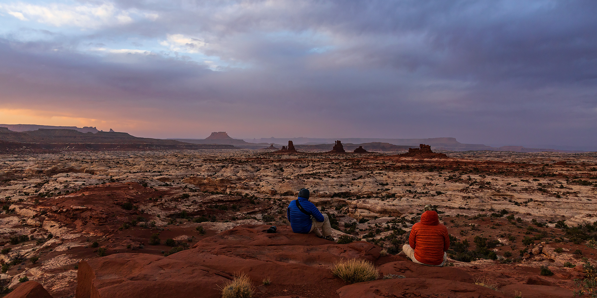
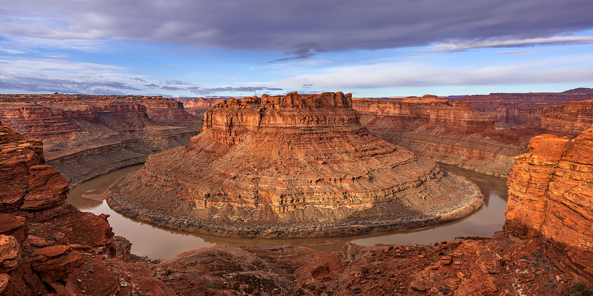
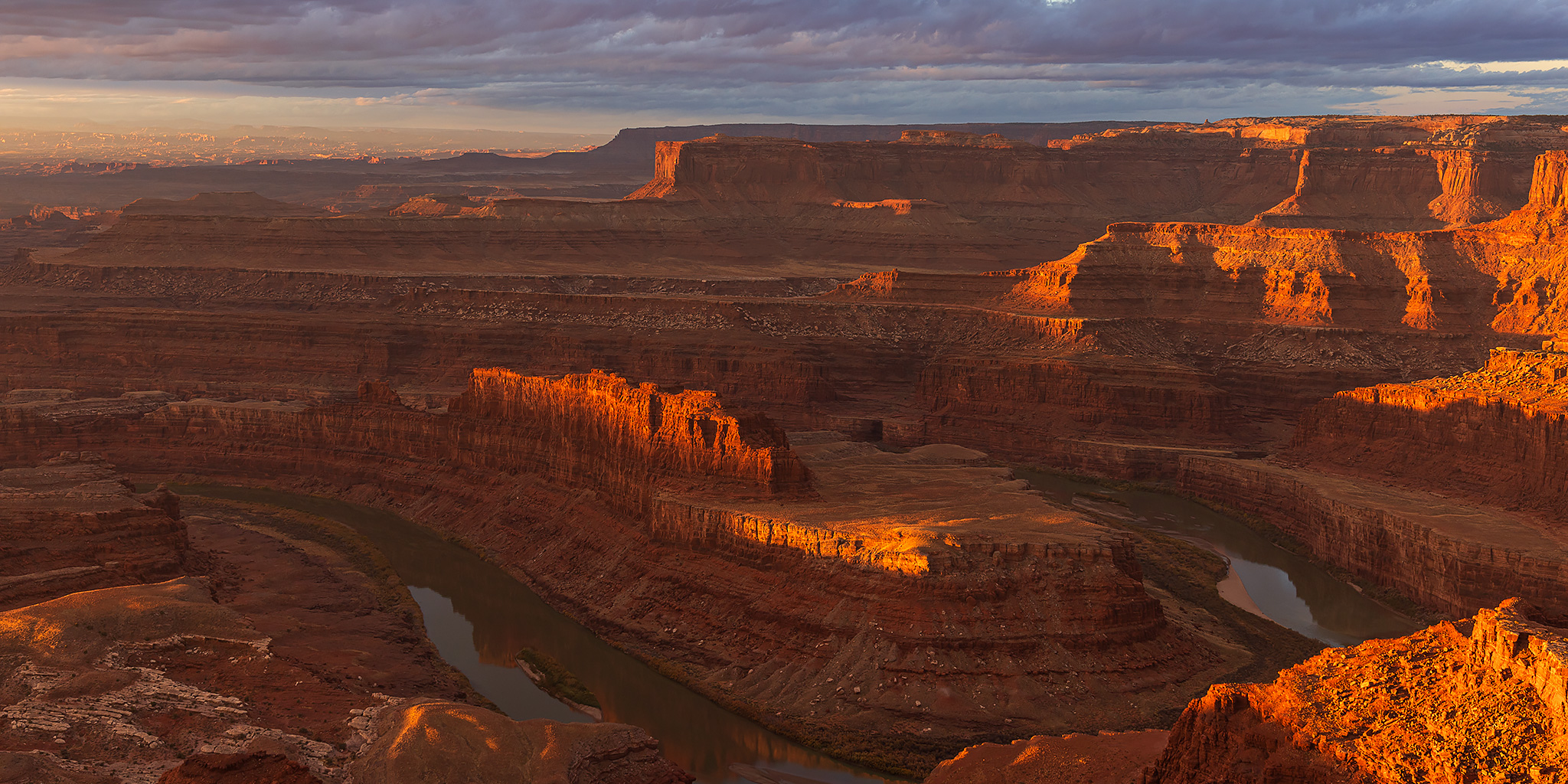
Although I originally had a different and more local trip planned for this weekend, which I’ll hopefully be able to get back to in early December, the weather forecast made me reconsider those plans on Friday since it was predicted to start raining on Saturday afternoon and continue all through Sunday. With a partly cloudy sky in the forecast for Saturday morning I decided to get up early and head on over to Dead Horse Point State Park where I would hopefully be able to catch a nice sunrise from the main overlook and then could spend the rest of the morning hiking the remainder of the trails in the park that I had not been on before, which consisted of a loop of the East Rim Trail and the West Rim Trail along with a couple of shorter spur trails leading to overlooks along the way. A few years back Diane and I had spent a nice weekend mountain biking all of the Intrepid Trails in the park and I’ve been meaning to get back to finish up the hiking trails, so I’ve been looking forward to a return visit.
2 Comments