Press "Enter" to skip to content

Tag: echo canyon

The Sky Islands of the Chihuahuan Desert

Chiricahua National Monument to the Pedregosa Mountains and Dragoon Mountains
Arizona Winter Loop | Monday – Wednesday, January 30 – February 1, 2023

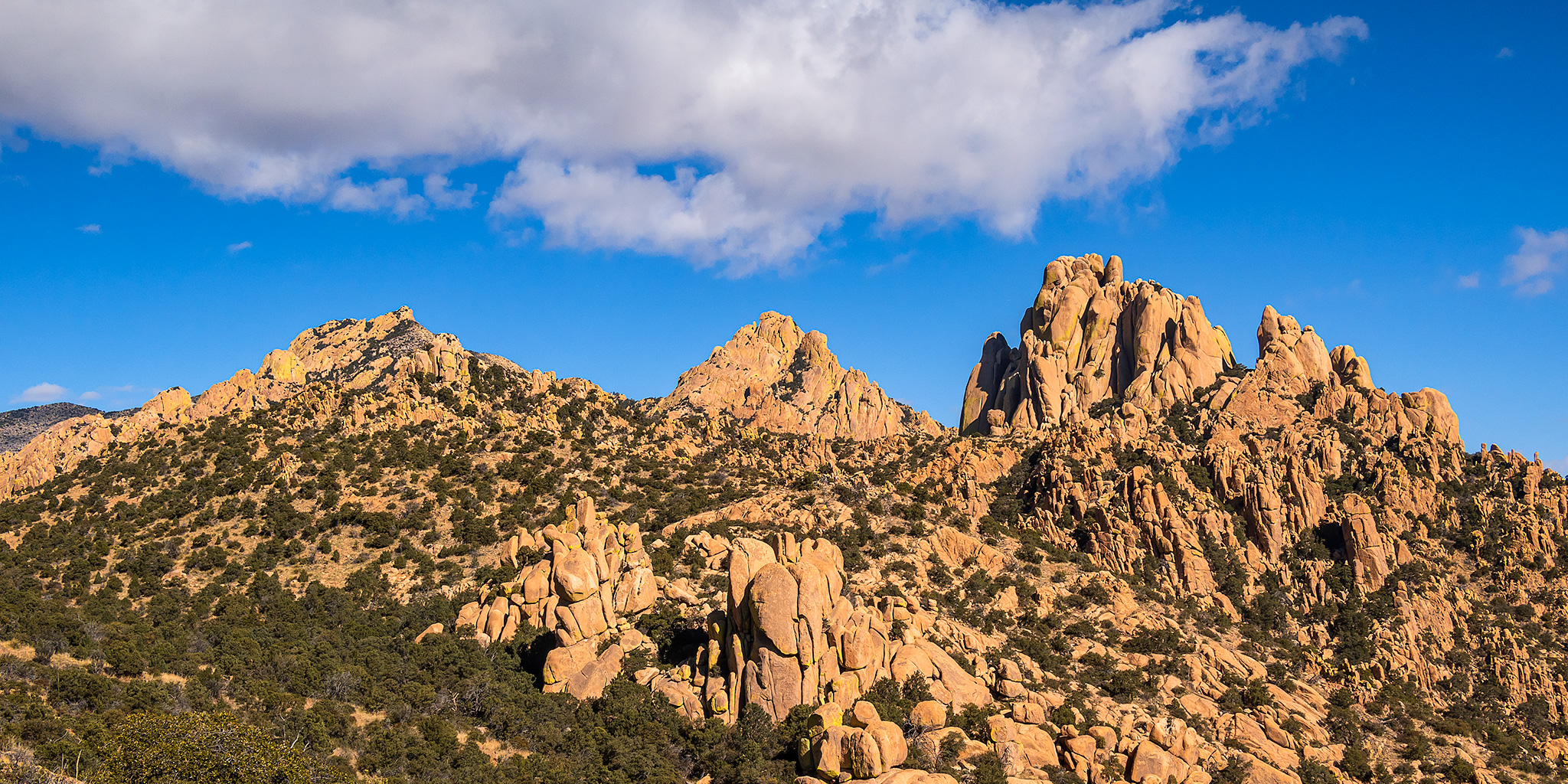
After a brief stopover in Petrified Forest National Park we continued south through Arizona on our way to the Sky Islands of the Chihuahuan Desert in the southeast corner of the state. A Sky Island is a mountain range that is separated from other mountain ranges by distance and by surrounding lowlands of a dramatically different environment. The result is a habitat island- such as a forest surrounded by desert. After leaving Holbrook we would cross the canyon of the Salt River and then follow the Gila Valley until we reached Safford and eventually Willcox later in the evening. Since I knew we would be arriving late I had booked a hotel room in town to stay at before we continued on to Chiricahua National Monument first thing in the morning.

6 Comments
Ribbon Canyon

Bangs Canyon Recreation Area
Wednesday, April 15, 2020

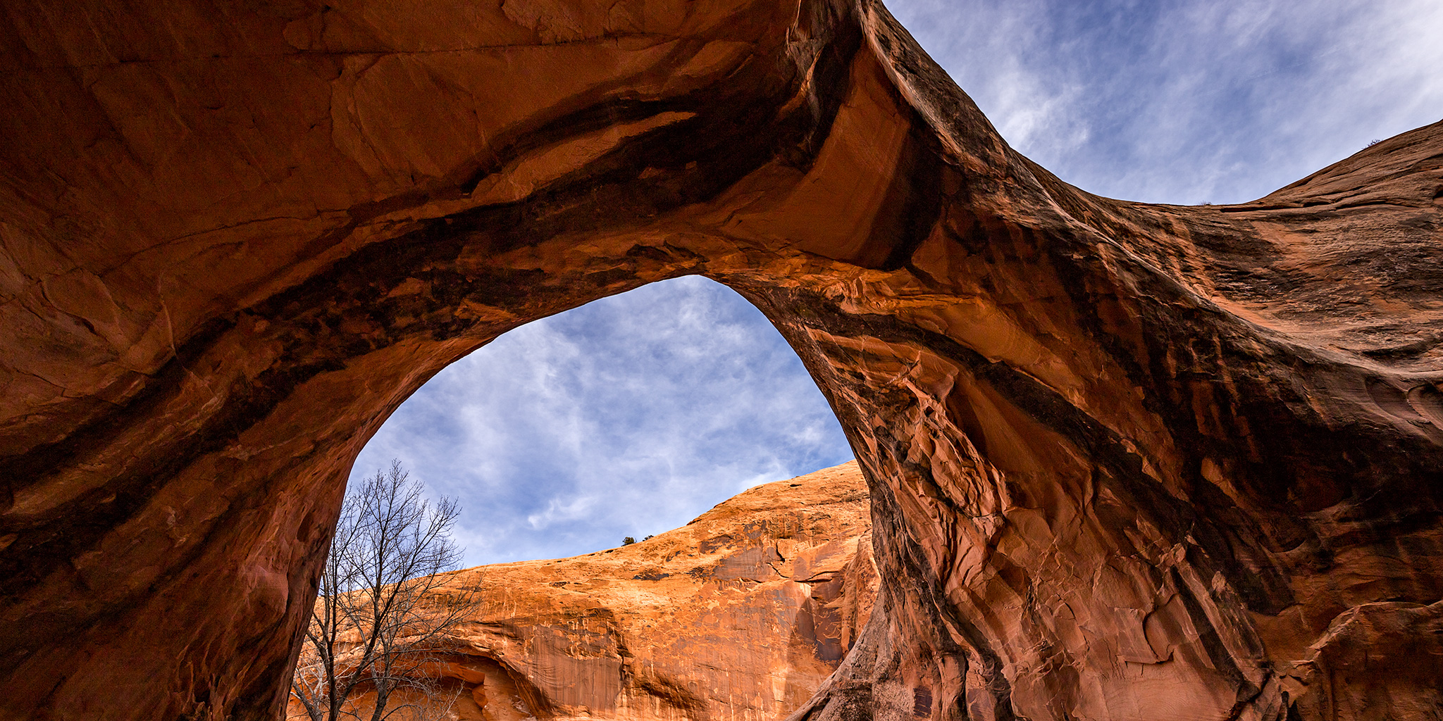
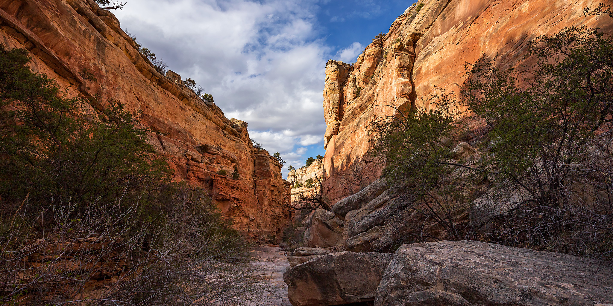
This evening after work I headed out to explore a local canyon that’s found near The Ribbon Trail in the Bangs Canyon Recreation Area, just outside of the Colorado National Monument. Earlier this year I had come across a recent canyoneering trip report for this canyon, which they called Ribbon Canyon, and I thought it looked like it would be a nice place to visit after work one day. Well, now that I have to stay closer to home, I figured that this would be the perfect opportunity to check out this short canyon! Although the canyoneers who posted the original trip report had rappelled down into the canyon from above, I thought I’d hike up from the bottom to see how far I could get. It turns out that I was able to see the best parts of the canyon before I got stopped by a high dryfall. I must say, this is probably the nicest canyon that I have ever visited this close to home, and I really enjoyed my evening spent here!

4 Comments

Otho Natural Bridge & Mill Creek Canyon

Moab Winter Weekend: Arch Hunting & Ancient Petroglyphs
Moab Area Rock Art XXXIV | Saturday & Sunday, December 21-22, 2019

This weekend Diane and I headed over to Moab to search for arches and rock art, like we usually do at this time of the year. The weather can be unpredictable at the end of December, but we lucked out this weekend with comfortable hiking temperatures during the day and no snow or ice on the ground yet. I’ve wanted to visit Otho Natural Bridge for many years so I made that a priority this trip and we headed there first thing on Saturday morning. I had originally planned to hike up the North Fork of Mill Creek from the bottom to reach the arch, but we were stopped by a deep water crossing near the confluence of the two forks of Mill Creek. I had hiked this canyon before from the bottom without getting wet before, but it appears there are new beaver dams along the creek which have made that impossible now. We weren’t prepared to get wet this time in these temperatures, so we turned around and drove up into the Sand Flats Recreation Area to find another way down into the canyon instead. I’d never been up this far into this canyon before and the views and scenery were beautiful as we searched for a route into the canyon. I think I ended up liking this route into the canyon more than the one I had originally planned!

3 Comments

Point 5750 (Eagle’s Wing)

Sunday, March 26, 2017

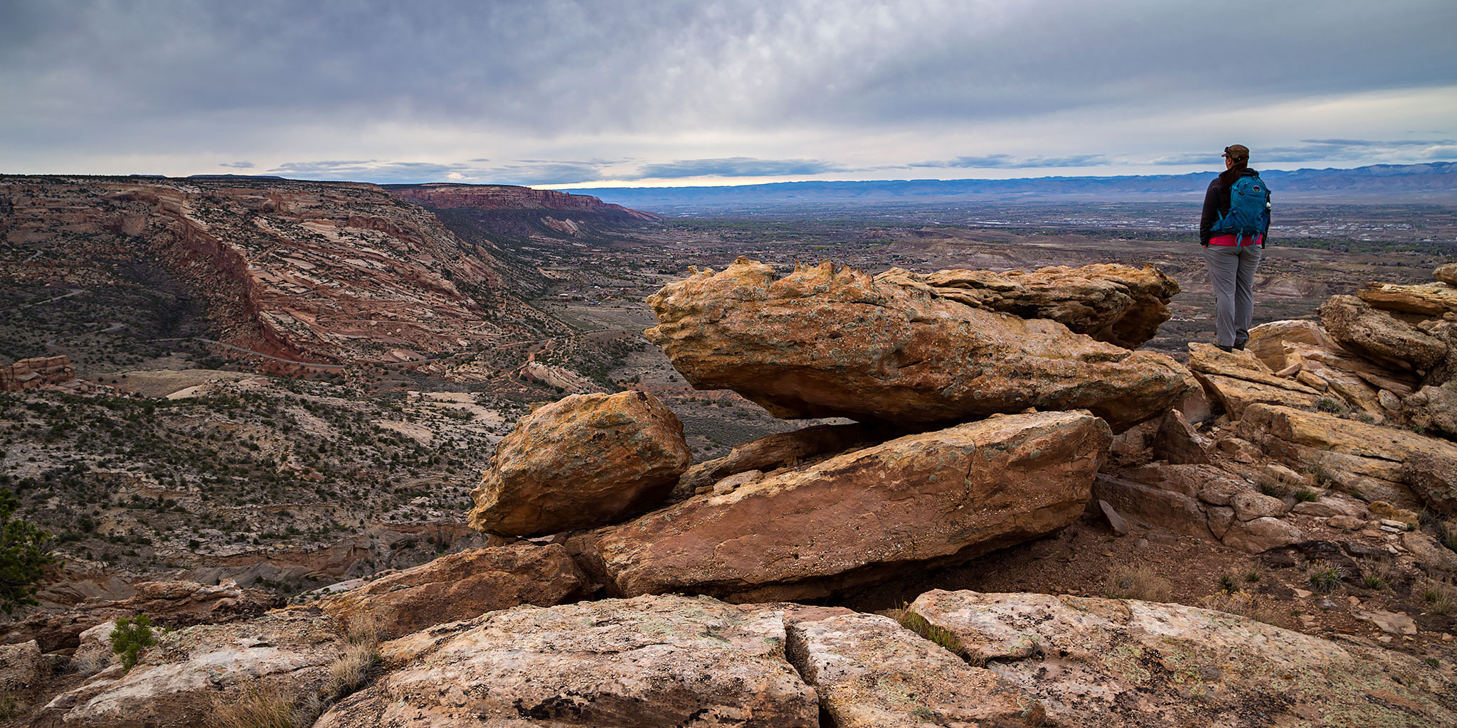
After spending Saturday hiking in the backcountry of Arches National Park we spent most of Sunday at home getting stuff done around the house and resting after a couple of busy weeks. Throughout the day I noticed that the clouds in the sky were looking pretty nice so we decided to go out for a short evening hike for sunset. I figured we could visit Point 5750 which is a high point in Mesa County located just outside of the Colorado National Monument that I have wanted to visit for a while. It’s easy to access this high point since it’s just a short distance off of the Eagle’s Wing Trail, one of the many Tabeguache (Lunch Loop) trails in the area.

Leave a Comment

Mount Whitney: Top of the Contiguous USA

Friday – Tuesday, August 22-26, 2014

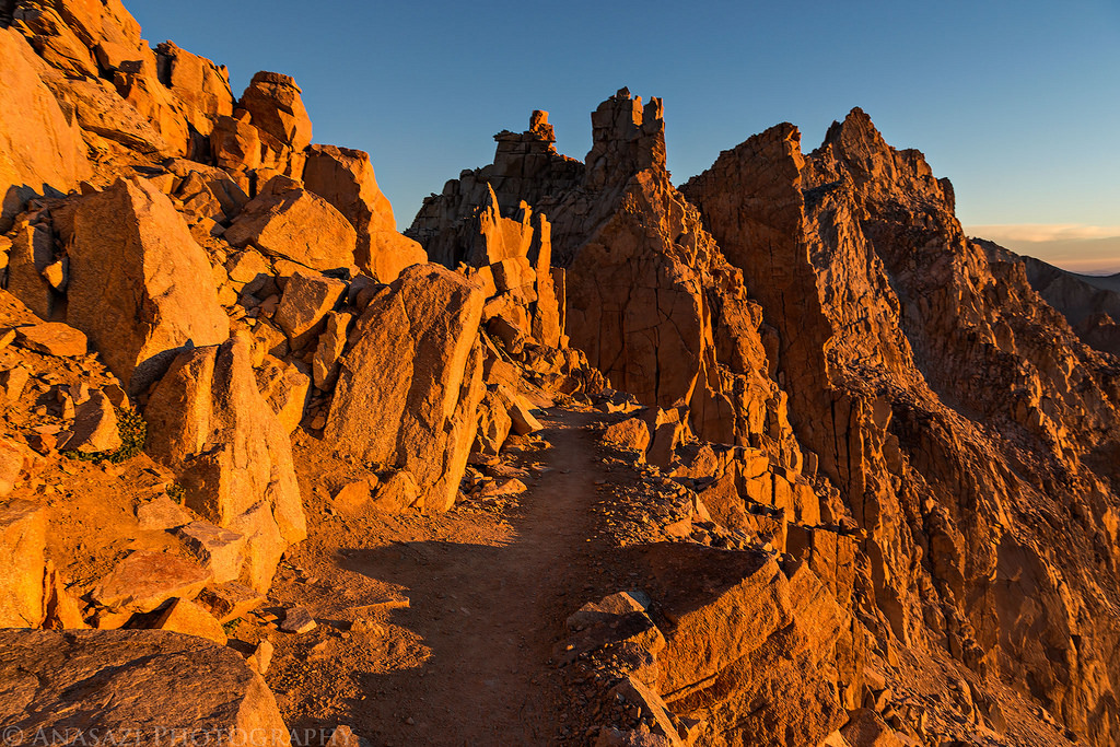
Mount Whitney- at 14,508 feet it is the highest mountain peak in the contiguous United States. While I have always thought about climbing to the summit of Mount Whitney at some point in my life, I really had never seriously planned a trip or time frame to do it. About two months ago my friend Geoff sent me a message and asked if I wanted to join him on a day hike of Mount Whitney. He had received a few permits in the lottery earlier in the year, but all of his hiking companions had cancelled on him. I checked my calendar and had no trips planned for that time yet, so I said yes. I figured since I had the opportunity come up that I might as well do it now, especially since I had already hiked six Colorado 14ers this year and was in pretty good shape. I was a little worried about doing the full 22 mile hike in a single day since I had never done a hike that long in one shot, especially with over 6,000 feet of elevation gain. I decided to keep an eye on the Mount Whitney permit website to see if any overnight permits opened up, and luckily a few weeks before the trip I was able to get two of them for the same time. I no longer had to worry about completing the hike in a single day and would be able to enjoy the trail more. Our plan was to backpack up to Trail Camp around 12,000 feet on Sunday and then finish the hike to the summit on Monday morning.

6 Comments