Press "Enter" to skip to content

Tag: arkansas river valley

Hagerman Pass and the Colorado Midland Railway

Wednesday – Saturday, July 27-30, 2022

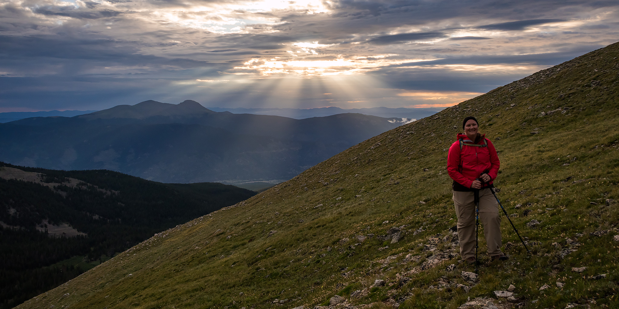
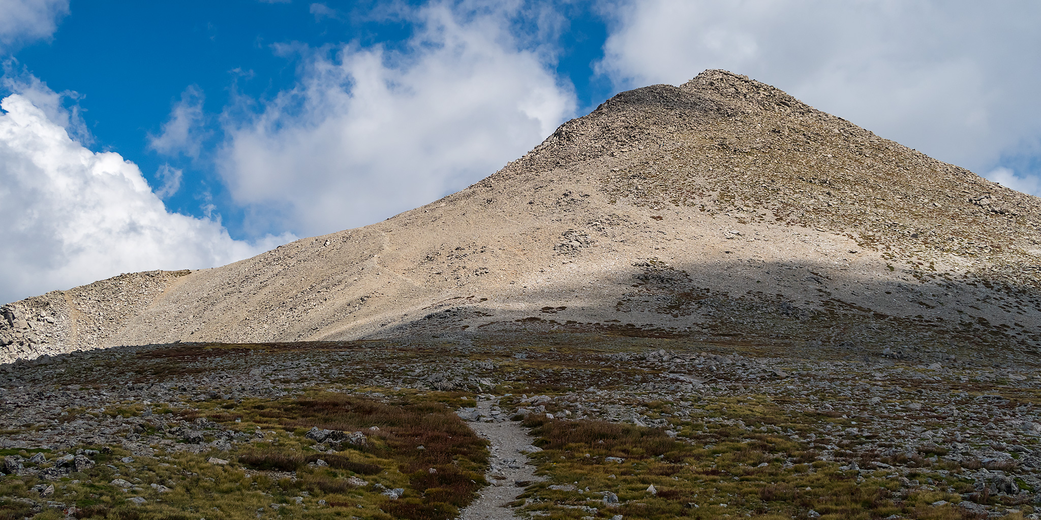
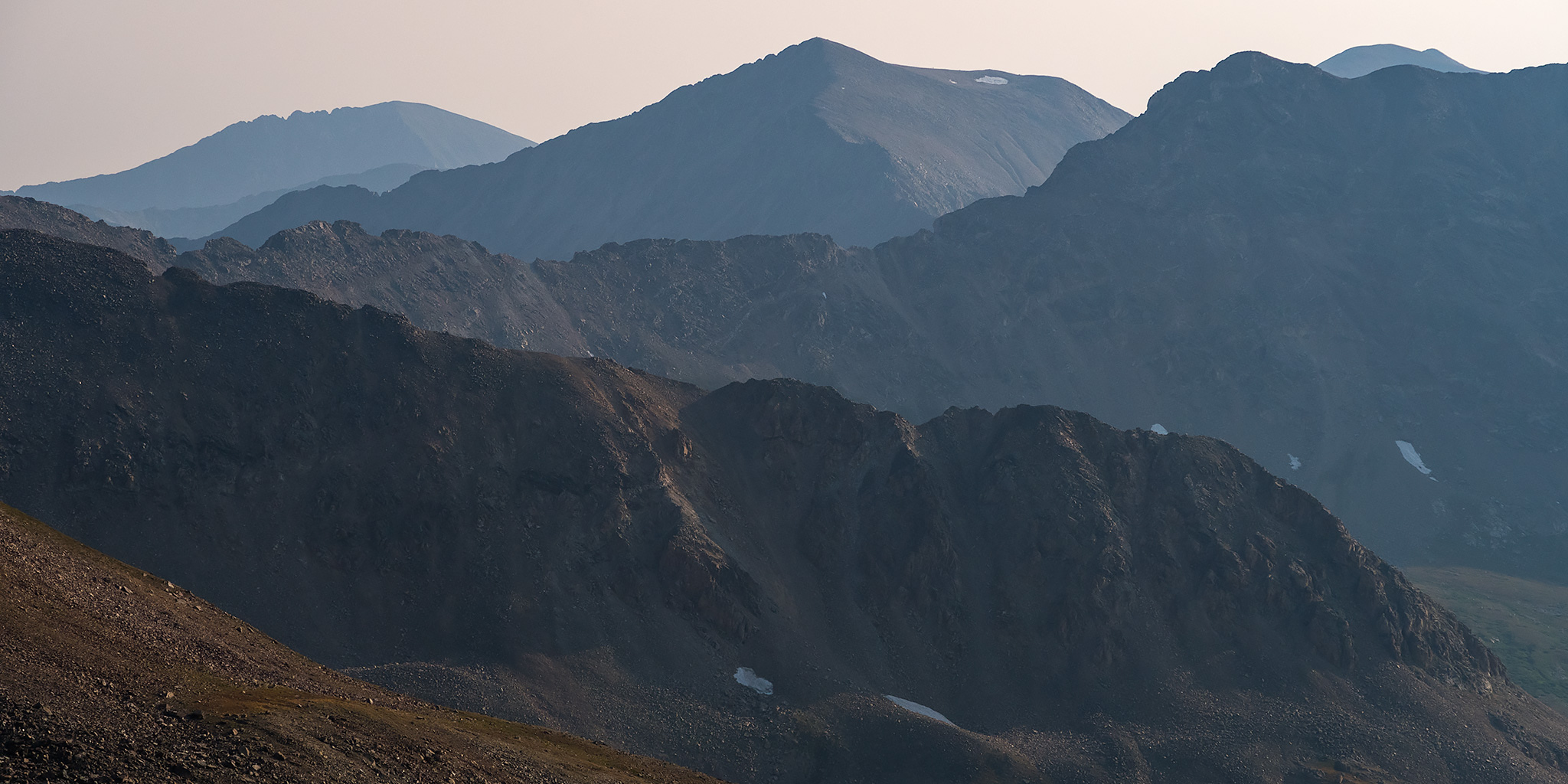
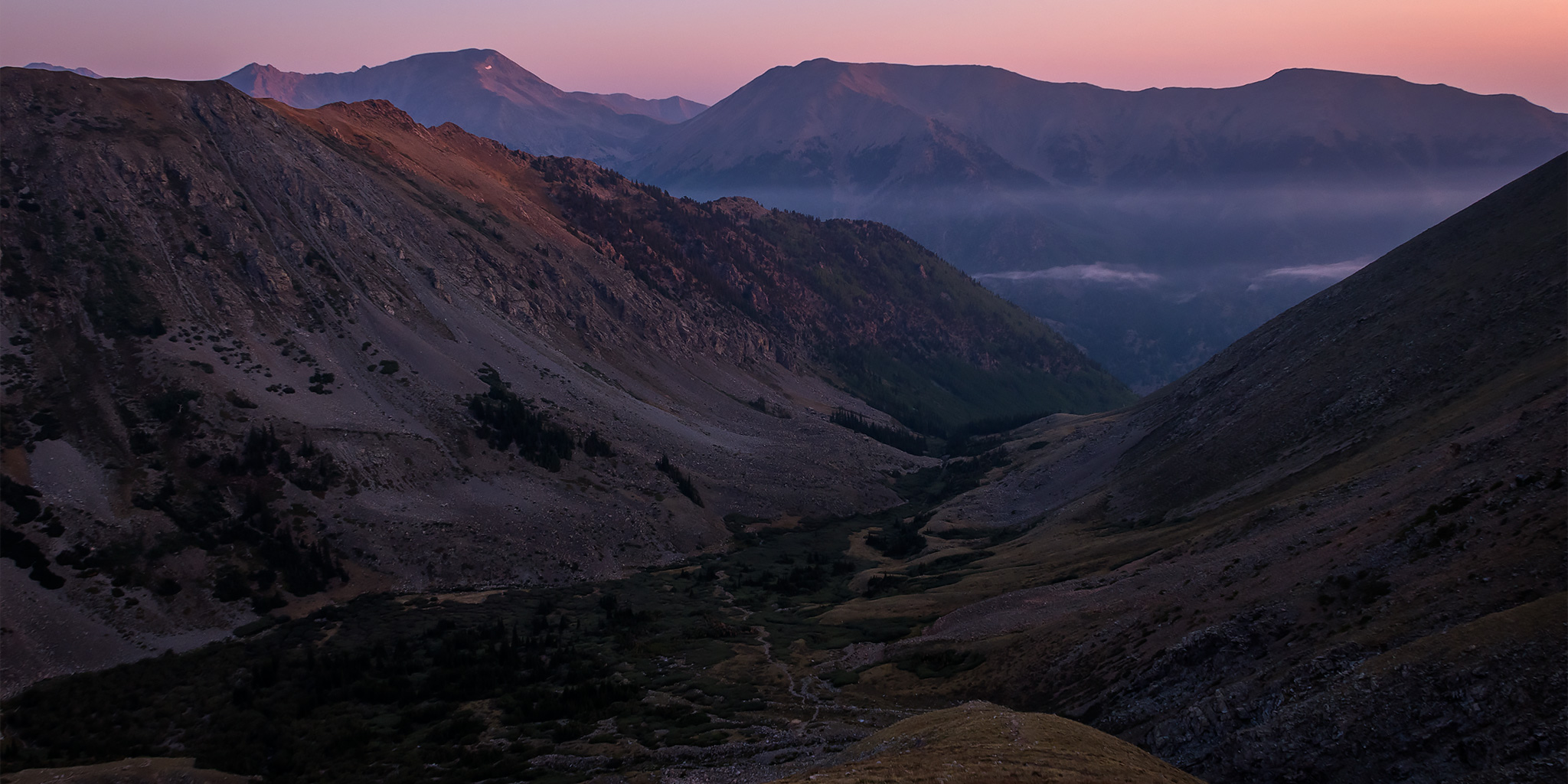
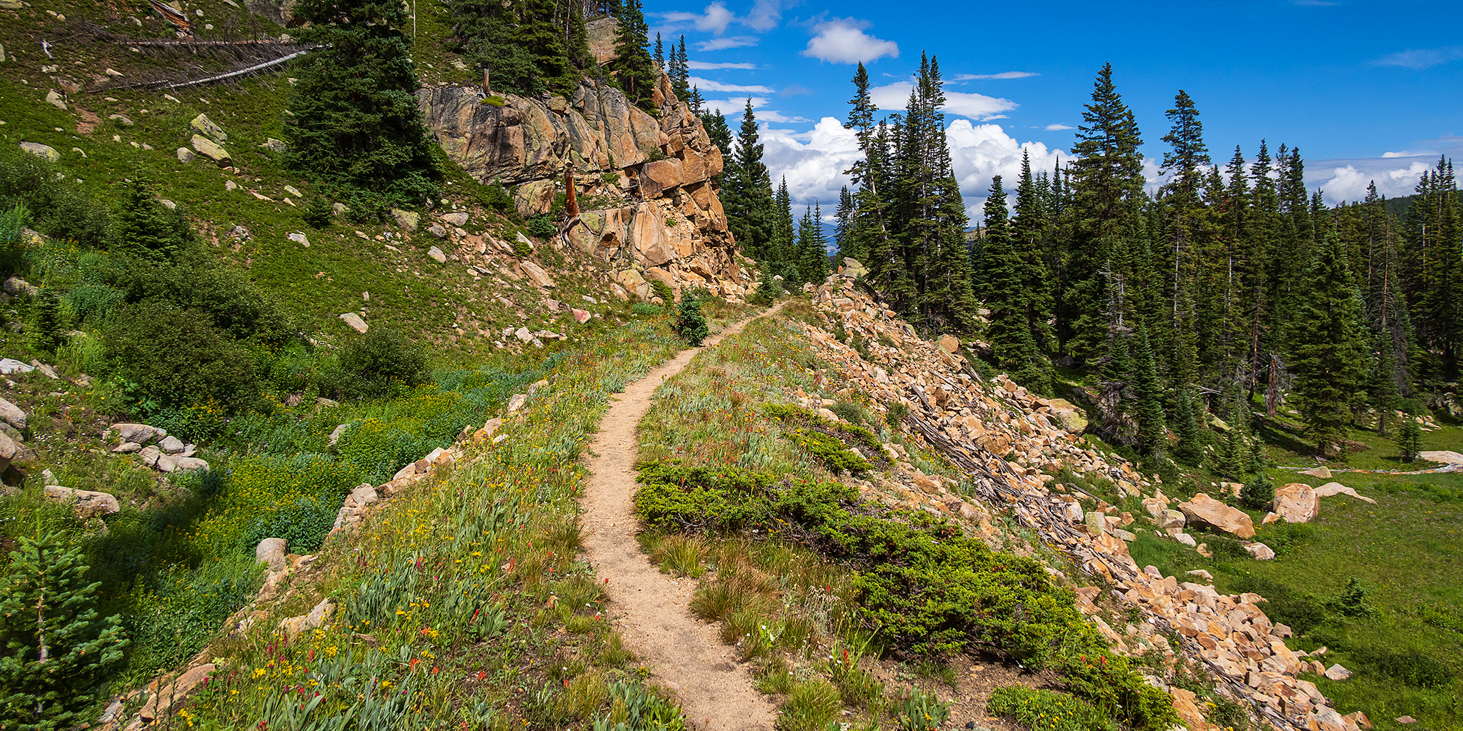
This Thursday and Friday I was going to be attending the GIS Colorado Summer Meetup which was being held at Turquoise Lake near Leadville and then I planned to spend the rest of the weekend exploring the surrounding area. I was hoping to get plenty of hiking in during the evenings and over the weekend, but that didn’t end up happening and I spent most of the time meeting new people and relaxing around camp, which was a nice change of pace. Although the weather forecast had been calling for a wet and stormy couple of days at the end of the week, we didn’t see much rain at the campground, but it was still overcast and cloudy much of the time. These are some photos I took over the days I was in the area.

2 Comments

Mount Columbia via Frenchman Creek

Saturday & Sunday, August 10-11, 2019

I had such a nice time in the Sawatch Range a couple of weeks ago when I climbed Mount Yale that I decided to return again this weekend with Diane so we could go on an overnight backpacking trip along Frenchman Creek and climb Mount Columbia (14,073) on Sunday morning. Since we didn’t have a long hike ahead of us, we slept in later on Saturday morning before heading out on our way to the Arkansas River Valley. We stopped at K’s in Buena Vista for lunch and then from there it was a quick drive over to the Frenchman Creek Trailhead at the boundary of the Collegiate Peaks Wilderness. When we arrived I was pretty surprised to find that there were no other vehicles parked there, plus we would not seen anyone else on the trail all weekend. It was a little bit strange, even for a non-standard route on a 14er, especially on a weekend on this side of the mountains, but I’m not complaining!

1 Comment

Mount Shavano & Tabeguache Peak

Colorado Adventure 2018 | Thursday & Friday, August 9-10, 2018

After spending the morning hiking around Hancock Pass, I headed down to Pitkin and then made my way over to US 50. My original plans were to head off into the San Juan Mountains for a couple of days before returning home, but I decided to stick around the Sawatch Range for one more day so I could hike to the summit of Mount Shavano and Tabeguache Peak on Friday morning before the weekend crowds arrived. Since I had been hiking in the mountains all week and I was pretty well acclimated by this point, I figured this would be a great time to climb these two fourteeners. So instead of heading south into the Cochetopa Hills, I headed east over Monarch Pass.

Leave a Comment

Mosquito Pass Peaks

Colorado Adventure 2018 | Tuesday & Wednesday, August 7-8, 2018

After climbing a pair of 14ers in the Sawatch Range on Tuesday, I headed over to Leadville for dinner and then drove up to Mosquito Pass afterwards, which at 13,185 feet is the highest drivable pass in Colorado. Since I was planning on hiking to the summit of a few 13ers from the pass on Wednesday morning, I thought it would be a good idea to drive up there this evening to see how long it would take me and also to find out what condition the road was in since it had been a few years since the last time I was here. Just like some of the other mountain roads I’ve revisited lately, this one also seems to be in much rougher shape than I remember and it was a slow drive to the top. It was very windy when I got up to the pass so I didn’t stick around too long before heading back down and finding a campsite in Evans Gulch above Mountain Lake with a nice view of Dyer Mountain. I got into my sleeping bag right after the sun set and planned to sleep in a little later on Wednesday morning.

Leave a Comment

Mount Belford & Mount Oxford Loop

Colorado Adventure 2018 | Tuesday, August 7, 2018

After going to bed early on Monday evening I actually slept very well overnight and was wide awake when my alarm went off at 3:30am so I could get an alpine start this morning. I had a quick breakfast and then drove a short distance to the Missouri Gulch Trailhead and was on the trail by 4:00am by the light of my headlamp. The stars above were bright and there was a sliver of the moon just barely visible through the canopy of trees above as I climbed the trail up Missouri Gulch. It was very humid out when I first started hiking but it got progressively colder the higher I climbed. I actually ended up putting my gloves on for a while when I got above treeline before the sun came up. To be honest, when I started this hike I wasn’t very sure if I was in good enough shape to make it to both Mount Belford and Mount Oxford since it would be a long hike with a lot of elevation gain, but I at least hoped I’d make it up to Mount Belford and then would decide what to do when I got up there based on the weather and how I was feeling.

2 Comments