Dominguez Canyon Wilderness | Ten Year Anniversary
Saturday, March 30, 2019
I couldn’t think of a better way to celebrate the ten year anniversary of the Dominguez-Escalante National Conservation Area and Dominguez Canyon Wilderness than by hiking down one of it’s remote and untracked canyons!
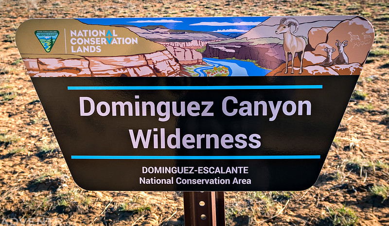
I spent the last two weekends hiking in the Needles District of Canyonlands and will be going back again in another week and a half, plus we had a concert to go to on Sunday evening, so this weekend we planned to stay close to home and take a little bit of a break from driving. Saturday was also the ten year anniversary of the designation of the Dominguez-Escalante National Conservation Area through the passage of the Omnibus Public Land Management Act of 2009, so we decided to celebrate the occasion by hiking down an unnamed canyon within the Dominguez Canyon Wilderness to a petroglyph panel that I first visited on a river trip back in 2012. This canyon, located just north of the more popular Dominguez Canyon, has no official name on any map that I’ve seen, so I’m simply going to refer to it as Triangle Canyon since it sits just below Triangle Mesa.
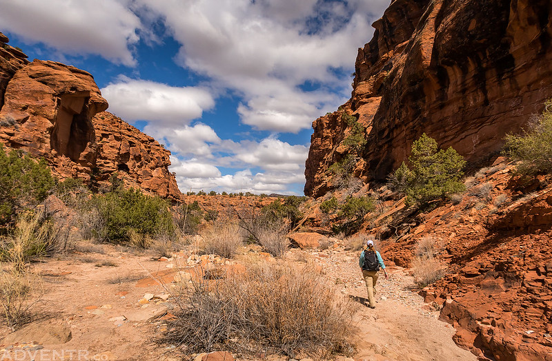
We started our hike from the Cactus Park Trailhead and quickly left the trail to follow the shallow wash which would transform into a deep and beautiful canyon as we hiked down it throughout the morning. There were a couple obstacles along the way, but we were easily able to find routes around all of them. From the trailhead to the river there was a loss of about 1,500 feet of elevation in about 7 miles with a lot of boulder hopping along the way. I must say, the lower portion of this canyon is definitely one of the more beautiful and undisturbed canyons in the area and a real hidden gem! It’s nice to have such a great place to explore so close to home and the wilderness designation will help continue to keep it that way for years to come!
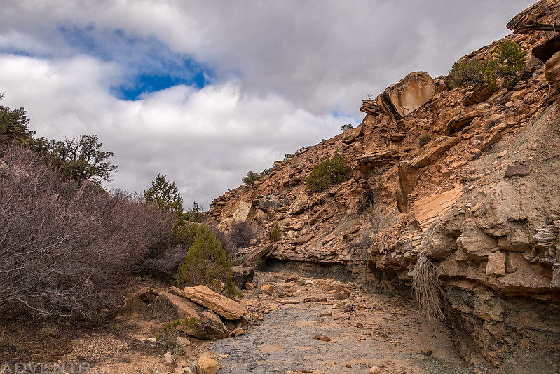
After leaving the Cactus Park Trail we found ourselves hiking down a shallow canyon.
This was one of the first pourovers we came to that we easily found a way down.
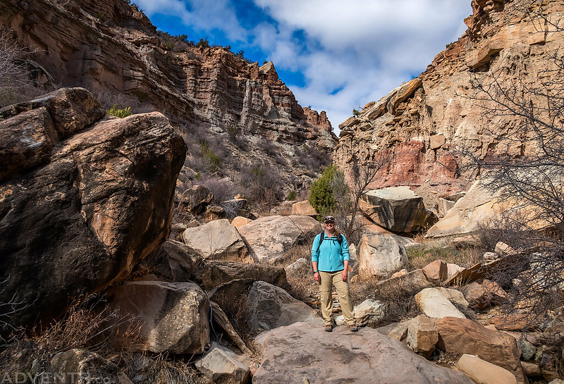
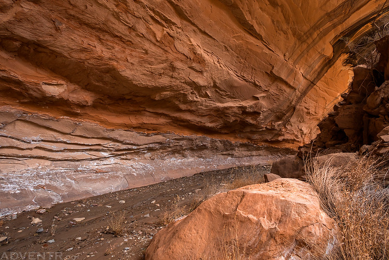
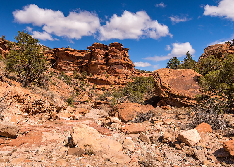
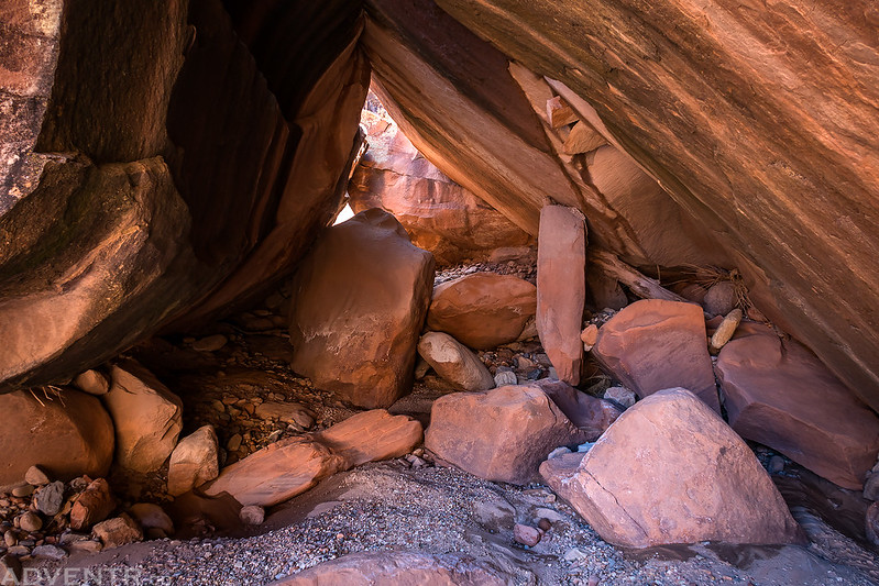
This part of the canyon seemed like a big jumble of boulders.
There were many little hoodoos and goblins above us as we hiked further down the canyon.
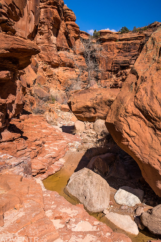
A nice little desert pool and waterfall as the canyon began to cut into the Entrada Sandstone layer.
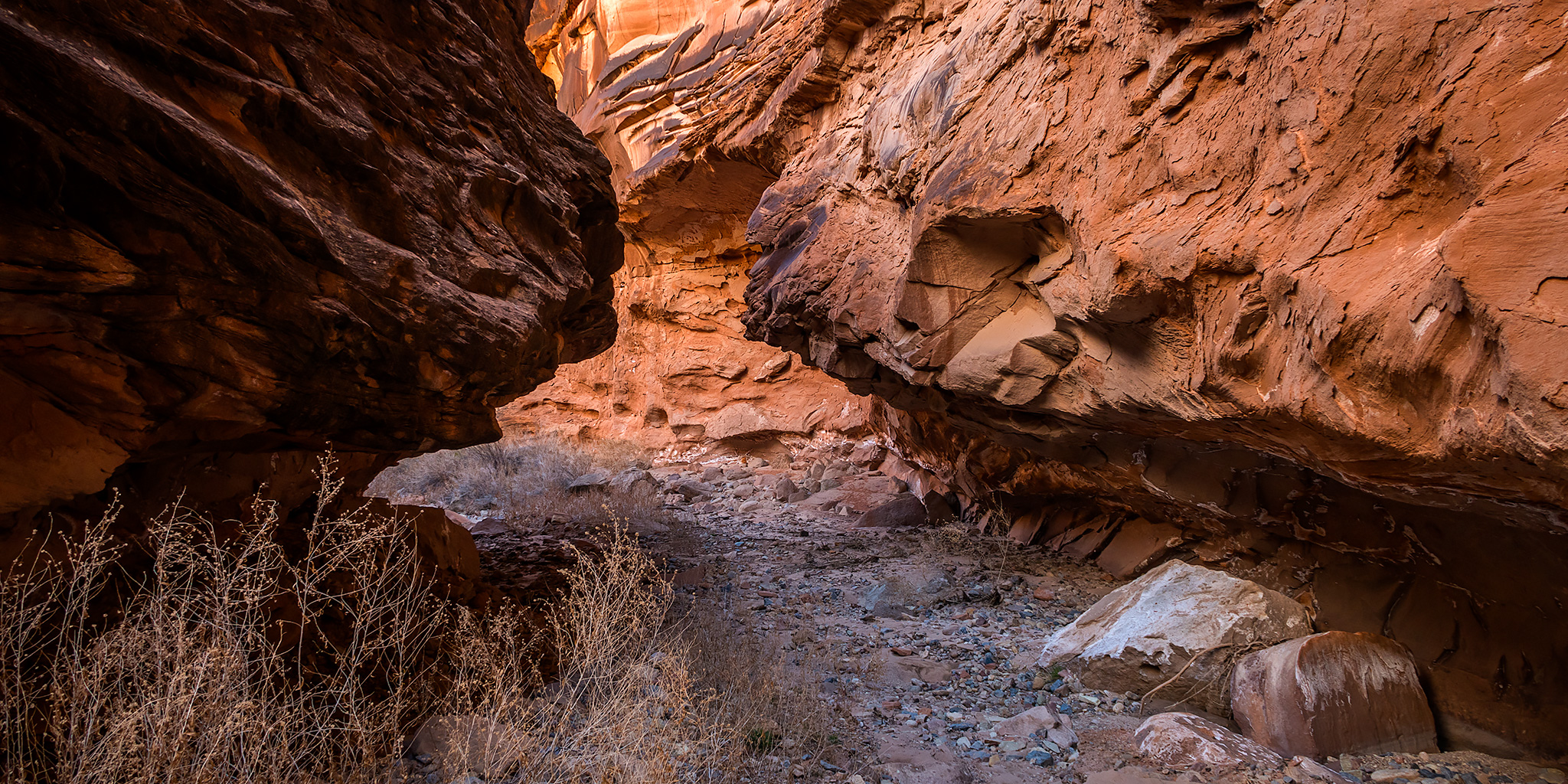
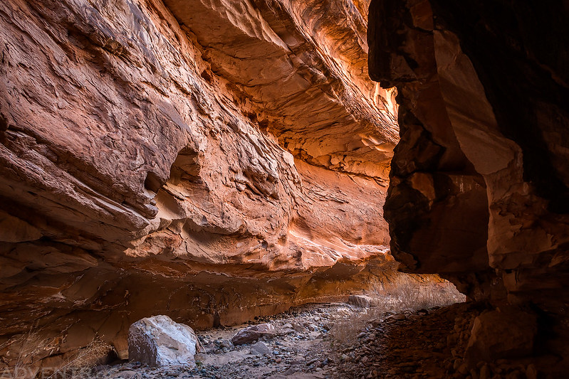
Soon we found ourselves hiking through a couple of large alcoves.
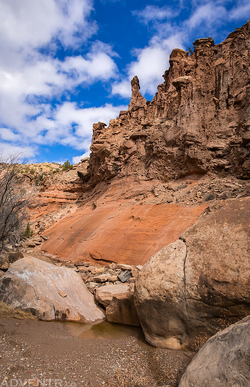
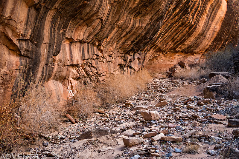
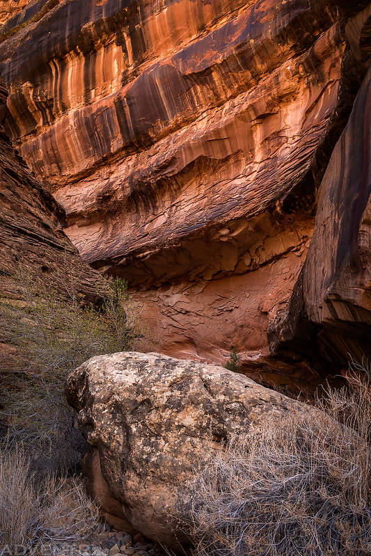
Striped Wall
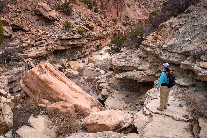
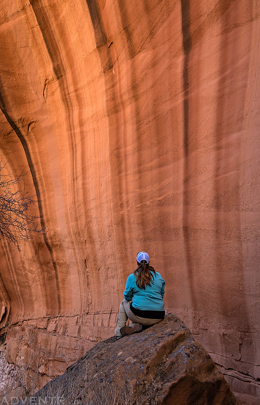
Diane takes a rest on a large boulder and enjoys the view inside another large alcove.
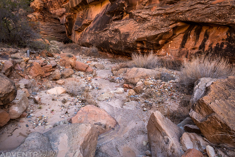
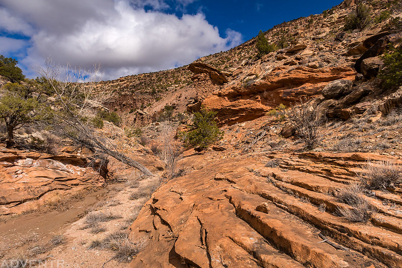
Canyon Layers
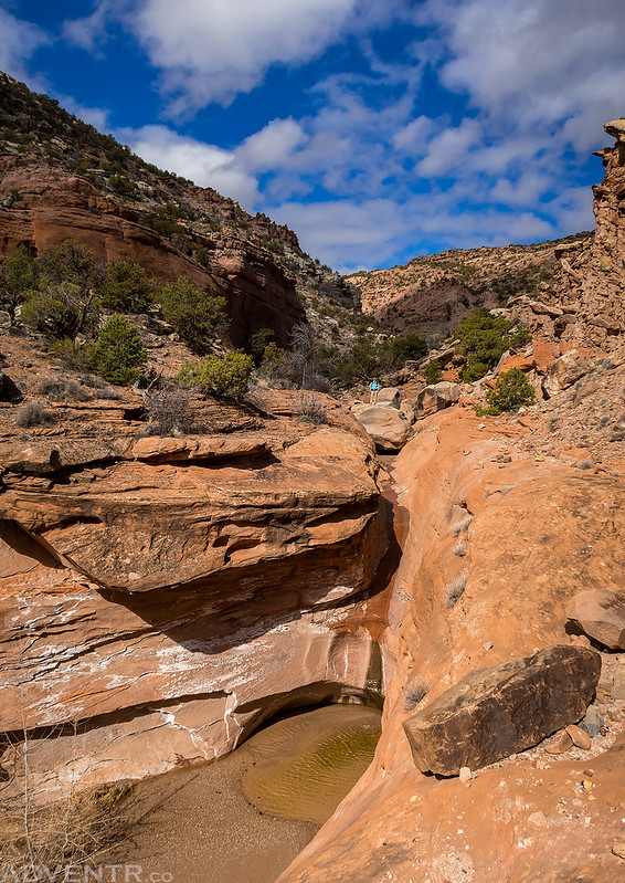
Hiking through a narrow spot in the canyon.

The canyon opened up as we got closer to the Gunnison River and the hiking got easier.
There were nice clouds in the sky for much of the late morning and early afternoon.
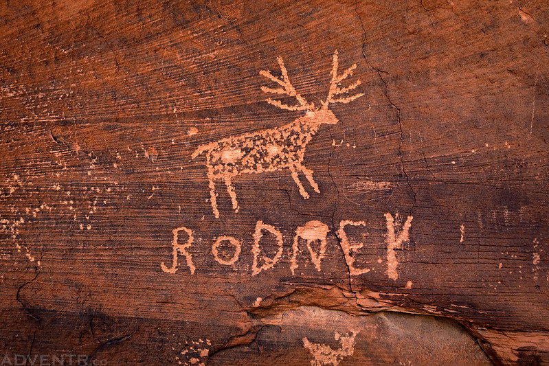
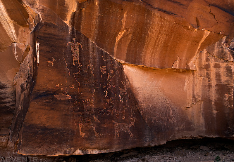
I knew we were getting close to the river when we started finding inscriptions carved into the walls of the canyon. I think Rodney carved this deer, too…
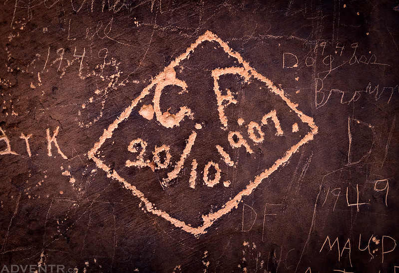
This was the oldest inscription I spotted, from 1907.
As the canyon opened up before reaching the river we had this view of Tunnel Point on the other side.
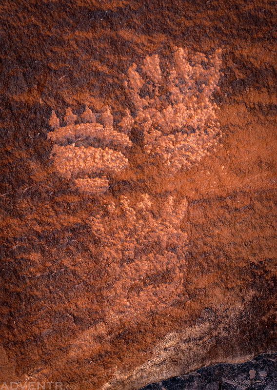
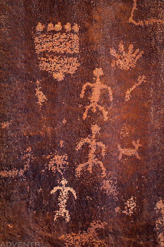
A couple bear paw petroglyphs.
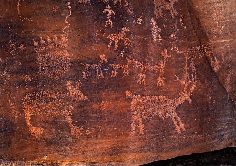
Here’s a nice petroglyph panel featuring a bear, a couple deer, more bear paws, and even some anthropomorphs.
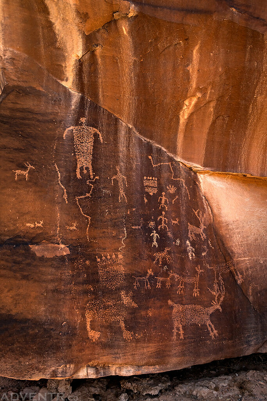
A closer look at the largest anthropomorph.

Here’s the bottom of the panel with the bear and a large bear paw. Diane liked how deer had tracks right below their feet.
Paws & People
One last look at the full panel before we started hiking back up the canyon.
We had to scramble through this tunnel of boulders.
Did I mention that it was a very beautiful canyon?
After hiking up canyon a couple of miles we found a spot where we could climb up out of the steep canyon and follow a 4×4 road back to the trailhead. Aside from the steep climb out, we figured it would be an easier hike than following the canyon, plus we would get a nice view over the canyon.
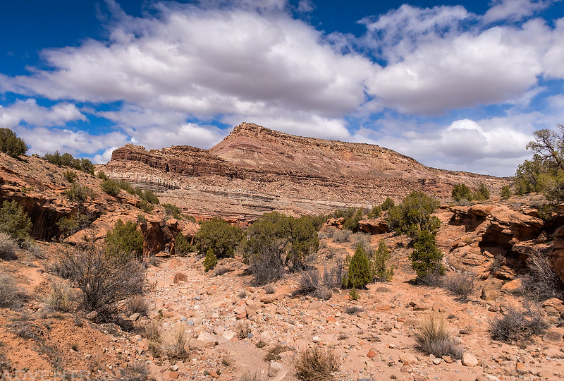
Triangle Mesa is the high point on the other side of the canyon as we started to climb out.
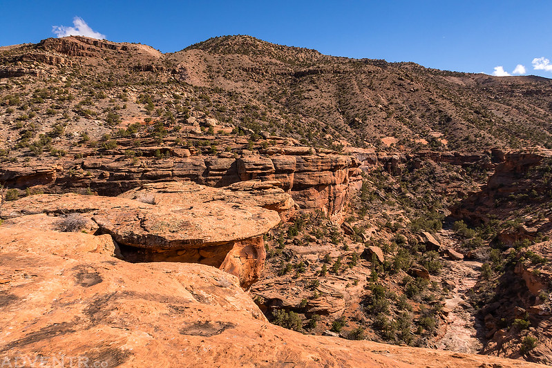
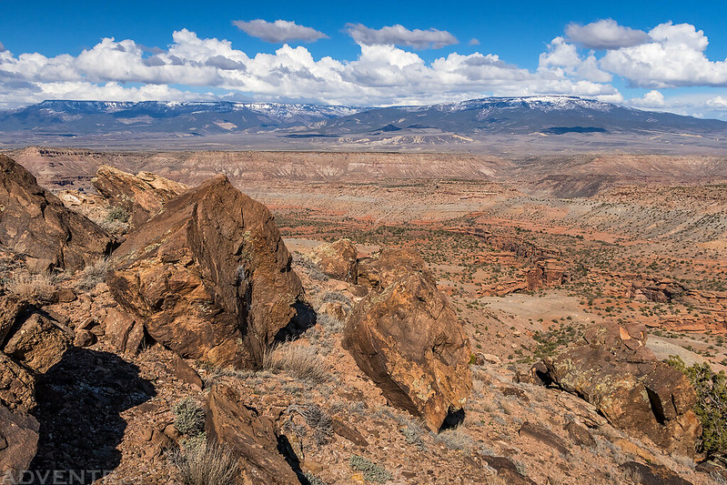
We had a nice view of the Grand Mesa over the lower canyon as we made it to the top of the Entrada Sandstone.
We continued to climb even higher with the Grand Mesa in the background. The route we chose was steep but pretty solid with only one cliff band to climb through. All in all, the climb from the bottom of the canyon to the 4×4 road was around 900 feet.
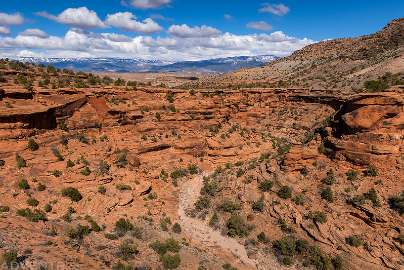
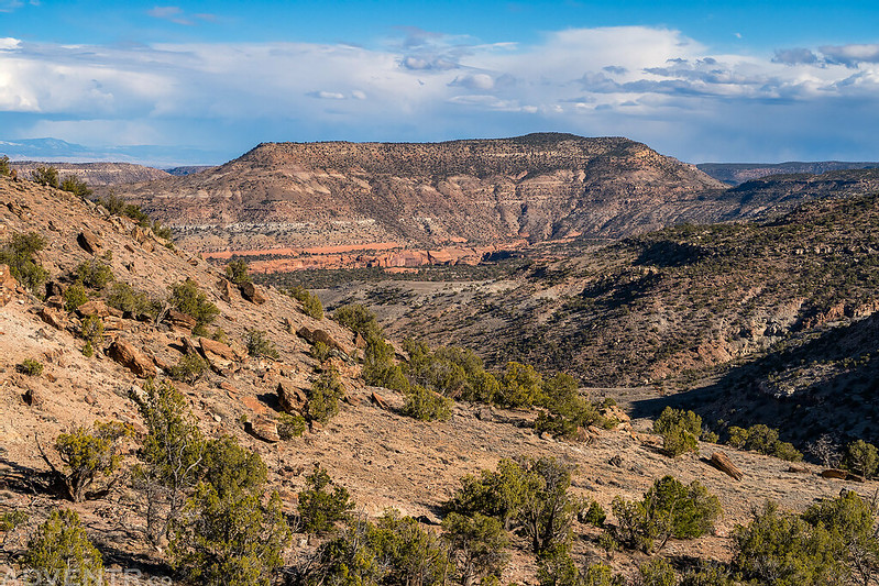
As we followed the dirt road back to the trailhead we had a nice view over Triangle Canyon and even lower Dominguez Canyon.
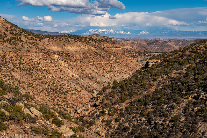
One final view over Triangle Canyon with the West Elk Mountains on the horizon. This turned out to be another great hike close to home!
>> Triangle Canyon Photo Gallery
Awesome report! Although I’m pretty sure Dann Cianca was in here in 2012 and dubbed this “Sand Castle Canyon” since it didn’t have a name then.