Sunday, January 22, 2017
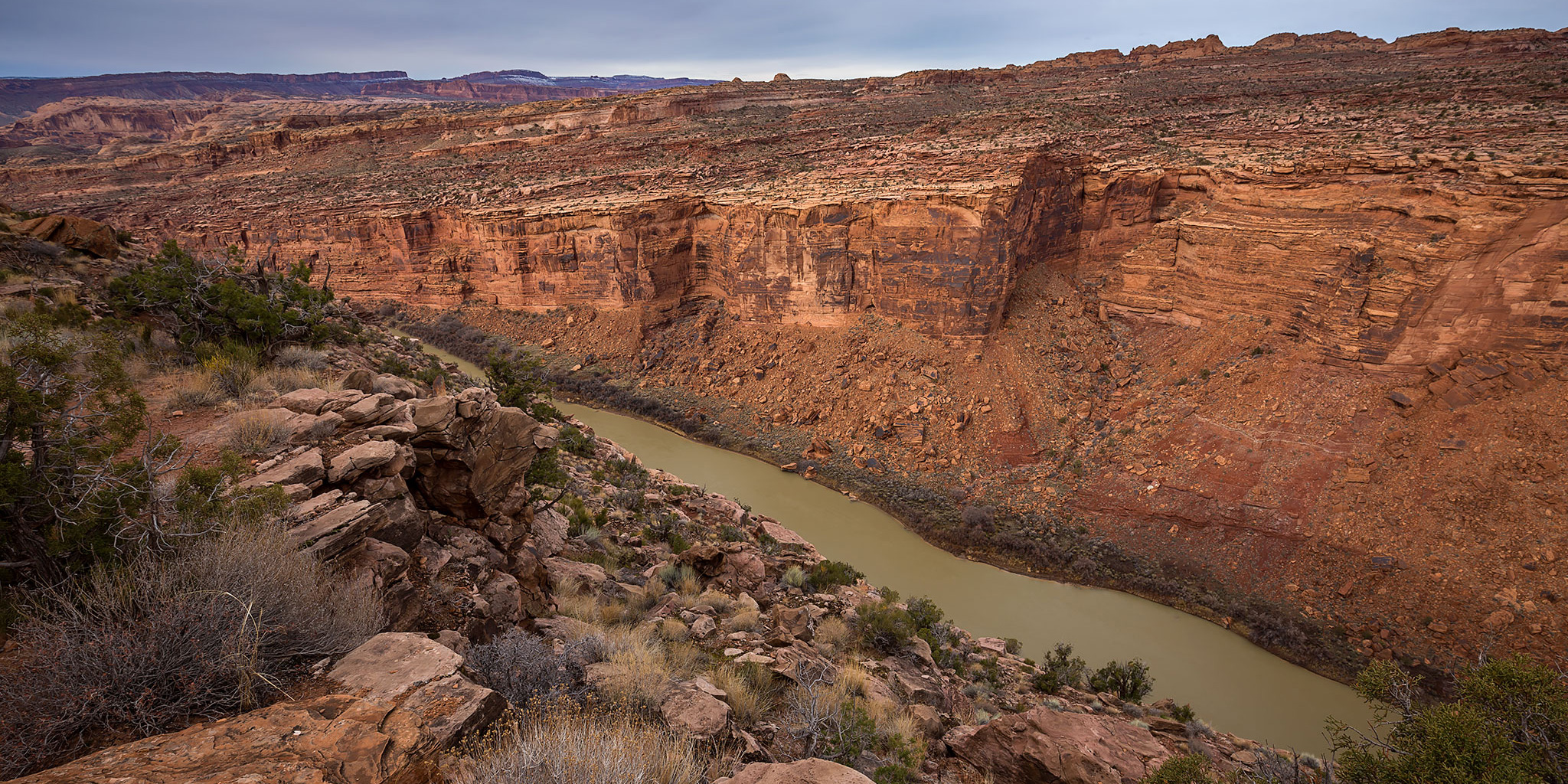
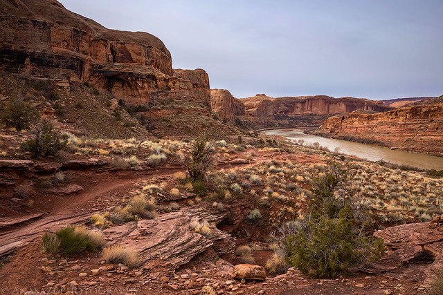
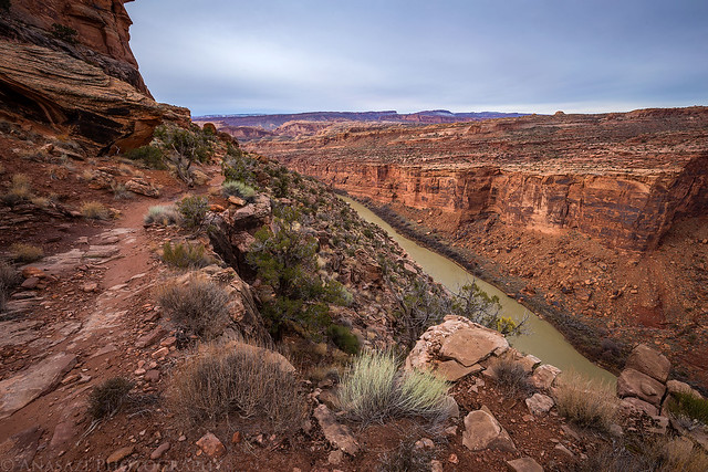
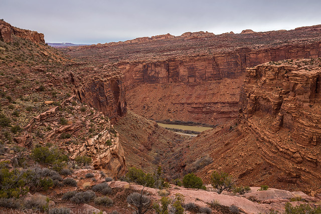
Overlooking the Colorado River from the Lower Porcupine Rim Trail near Moab.
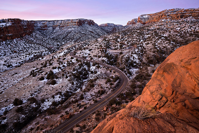
After spending Saturday at the Ouray Ice Festival, I decided to wake up early this morning to photograph sunrise at the Colorado National Monument. I headed over to the Devil’s Kitchen Trailhead and hiked up the Serpent’s Trail to a switchback overlooking Rim Rock Drive and No Thoroughfare Canyon to watch the sun come up.
Dawn in No Thoroughfare Canyon from a switchback along the Serpent’s Trail.
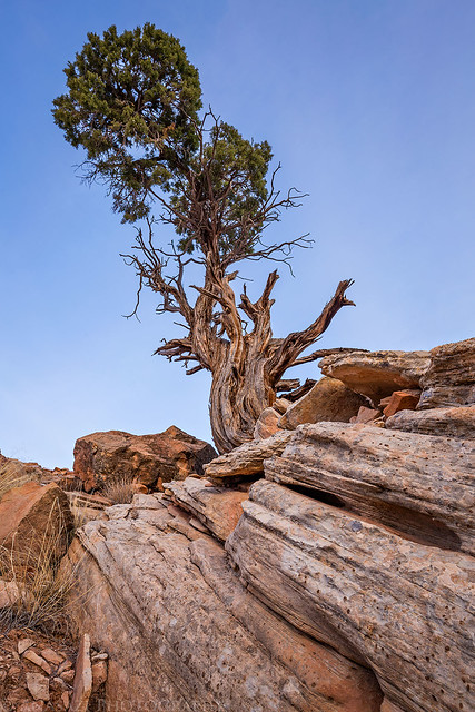
A twisted juniper tree along the trail.
After the sun was up I drove back home, had a little breakfast and then decided that I wanted to head over near Moab to hike the Lower Porcupine Rim Trail in the Colorado River Canyon from the Granstaff Trailhead. This trail ended up being nicer and more scenic than I expected, especially for being in a canyon that I frequently drive through throughout the year. During the spring and fall (and probably the summer, too) I am sure this popular mountain bike trail is crowded with bikers, but I didn’t see another person at all during the hike today. This would probably not be a great trail to hike during the busy season. I ended up hiking about 5.5 miles and then turning around and returning the same way. There were some nice views over Arches National Park and Jackass Canyon before the trail turned into an old four-wheel drive road that followed the top of the ridge separating Jackass Canyon and Drinks Canyon. I would have liked to have hiked all the way to the spot I drove my Jeep to when I ran the Porcupine Rim Trail, but it was still a good distance away and a winter storm was quickly moving in.
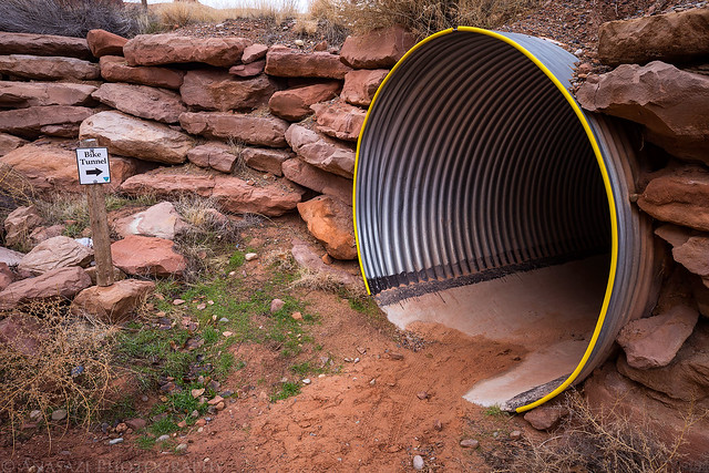
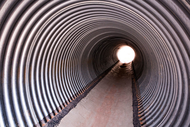
Like our recent hike to Jeep Arch, this trail also started by going through a large culvert.
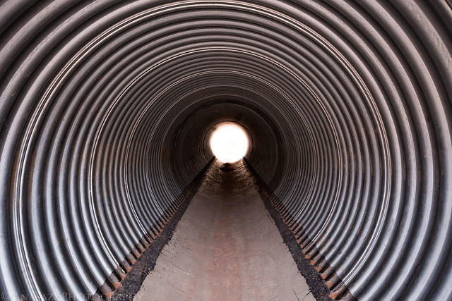
Light at the end of the tunnel…
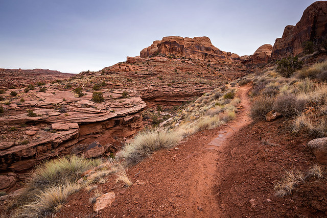
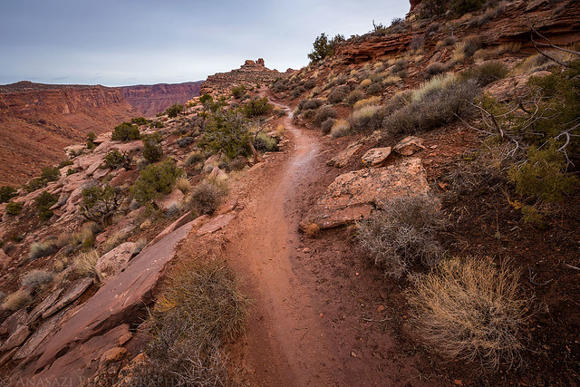
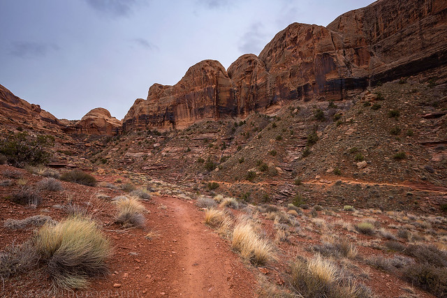
Following the well-defined trail as it climbed higher out of the canyon.
Looking back towards the trailhead near Granstaff Campground.
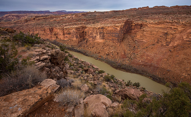
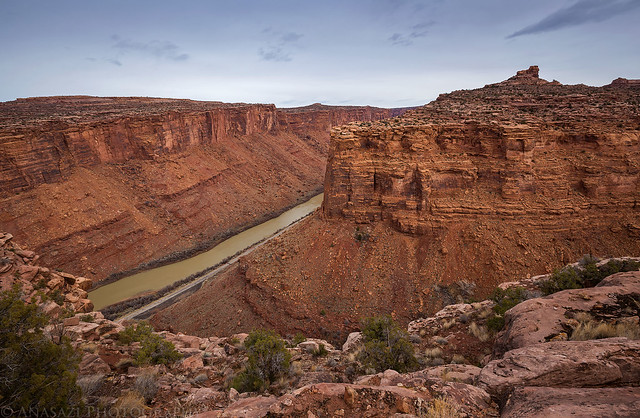
Following the trail on benches above the Colorado River.
Looking down on the mouth of Jackass Canyon. From this point the trail left the Colorado River Canyon and followed the rim of Jackass Canyon to the top of the mesa.
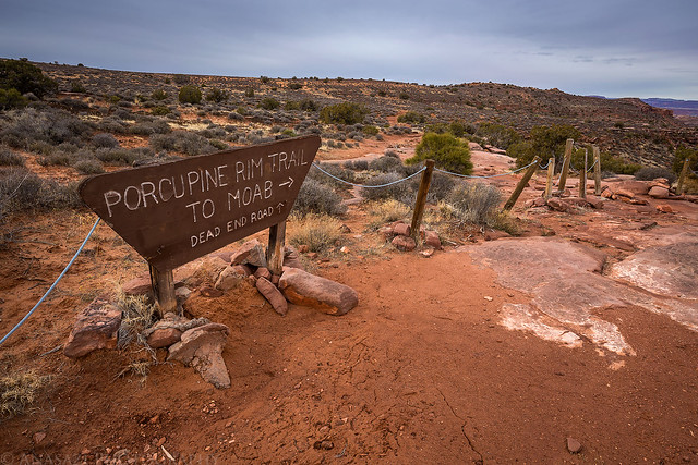
The first old trailhead I passed through as I continued on the mesa. The road from above used to end here, but that was a long time ago…
Looking down Jackass Canyon on my way back.
Back through the culvert and to my Jeep on the other side.
Below is a map and GPS track from my hike in case you would like to check it our for yourself.