Saturday, August 22, 2009
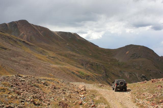
This last Saturday, Amanda and I headed back to the San Juan Mountains. My goal for this day trip was to explore some spur roads off of the Engineer Pass trail that I have not been down before. We started at Mineral Creek off of US 550 and made our way towards Engineer Pass.
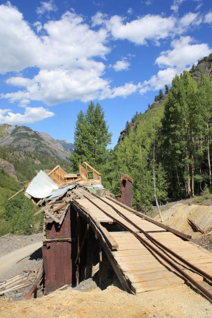
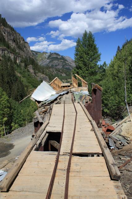
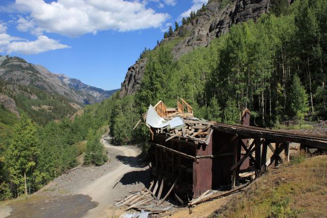
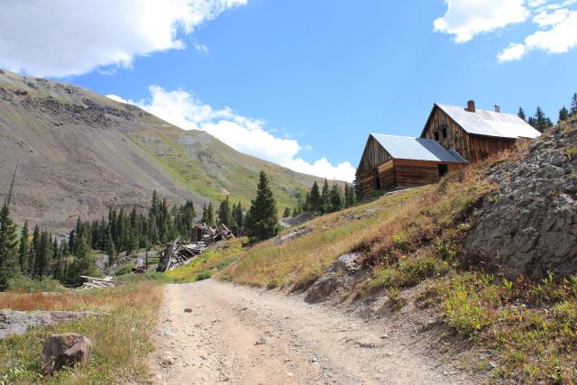
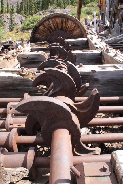
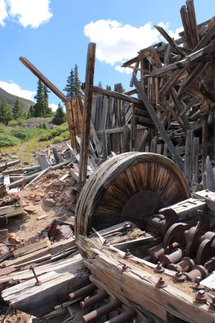
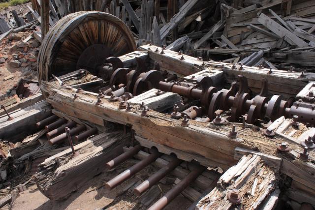
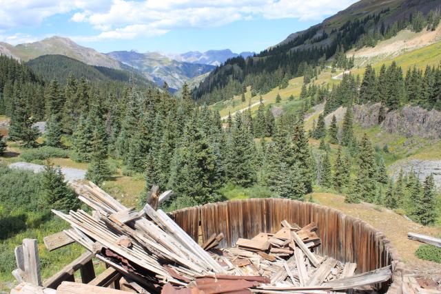
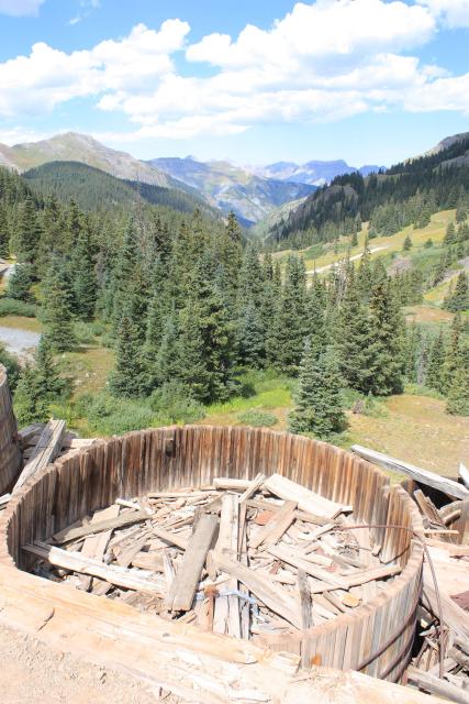
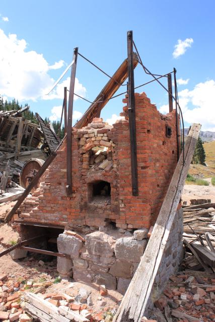
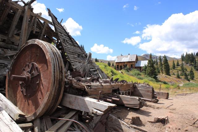
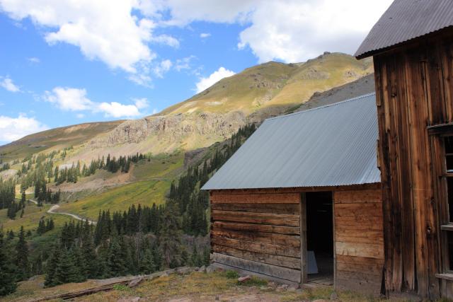
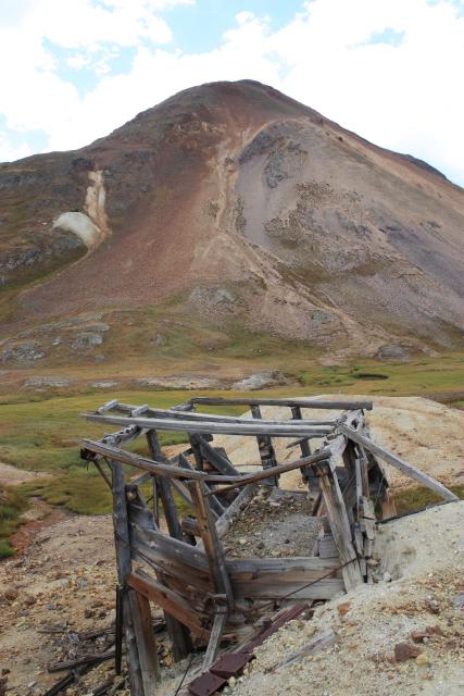
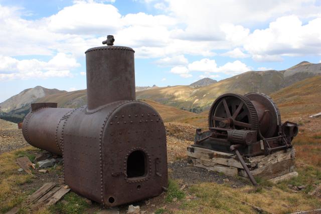
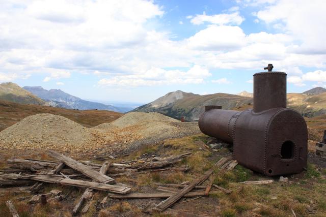
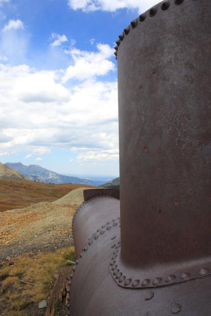
Our first stop was at the Mickey Breene Mine
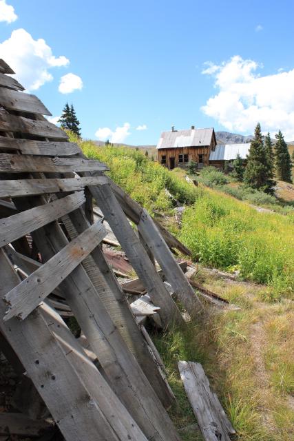
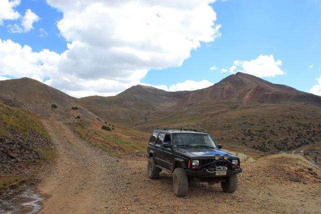
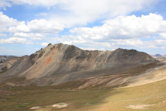
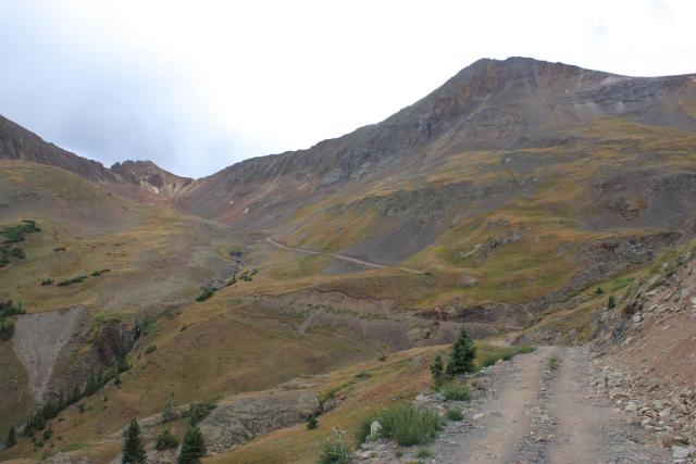
We skipped by Poughkeepsie Gulch this trip, since I have run that one before. Our first side trip was through Mineral Point. I have seen this area from the road and above on Engineer Pass many times, but had never taken the time to drive through it and check it out more closely. I’m glad I finally did, as there is some cool stuff to see and photograph! Here’s a few of the photos I took while exploring Mineral Point:
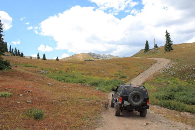
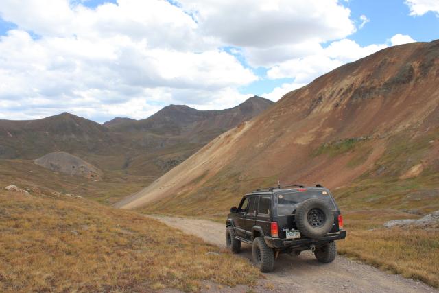
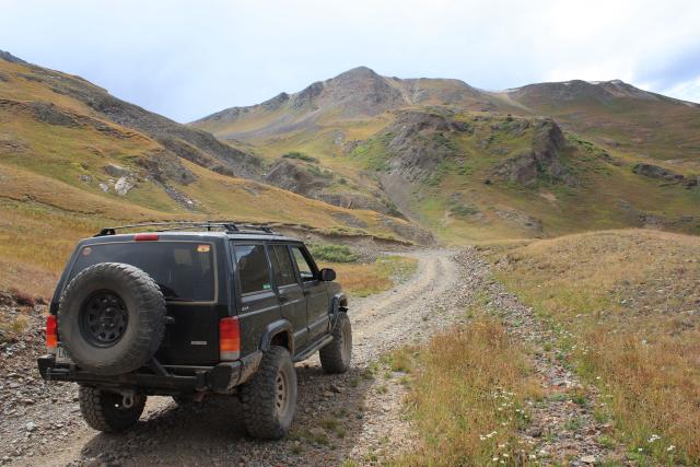
After looping back around to the Mineral Creek Road, we bypassed the turnoff for Engineer Pass and headed up Burrows Creek. Another short spur trail I have wanted to check out for a while.
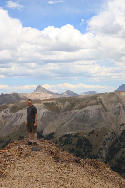
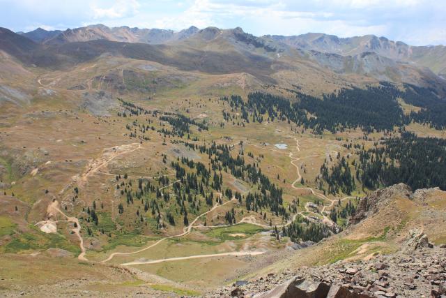
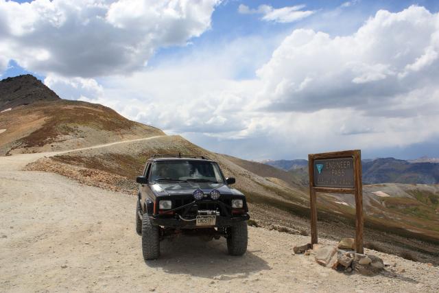
After returning to the North Fork Cutoff Road from Burrows Creek we backtracked to the Engineer Pass turnoff and started up the switchbacks. There is a trail that takes off from one of the switchbacks that I have always wanted to follow, so I decided to follow it today. It ended up being another short spur, but it ended at a great overlook of Redcloud Gulch. From the overlook, I could see what looked like a large structure up in a basin not too far away. I was hoping to get over there to check it out.
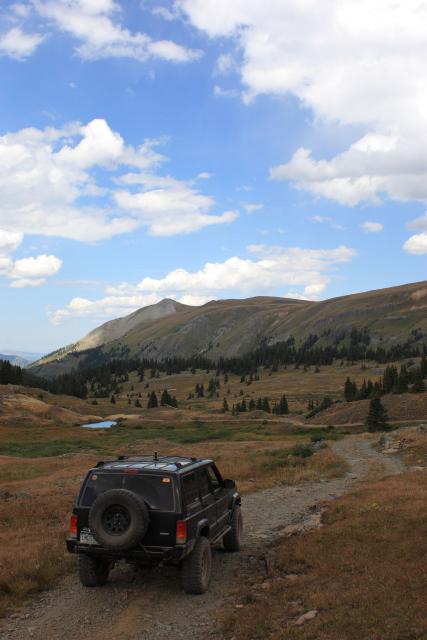
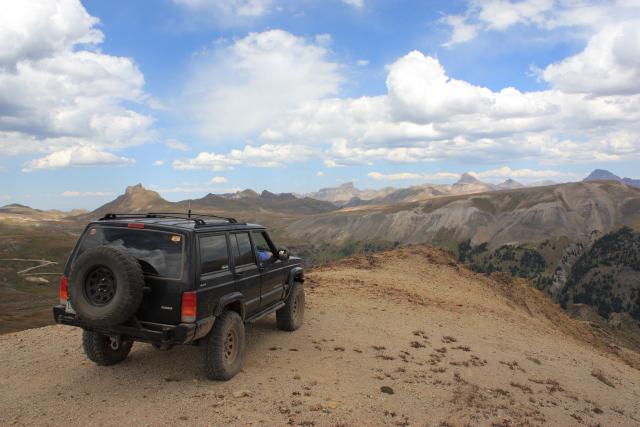
My Jeep at the overlook
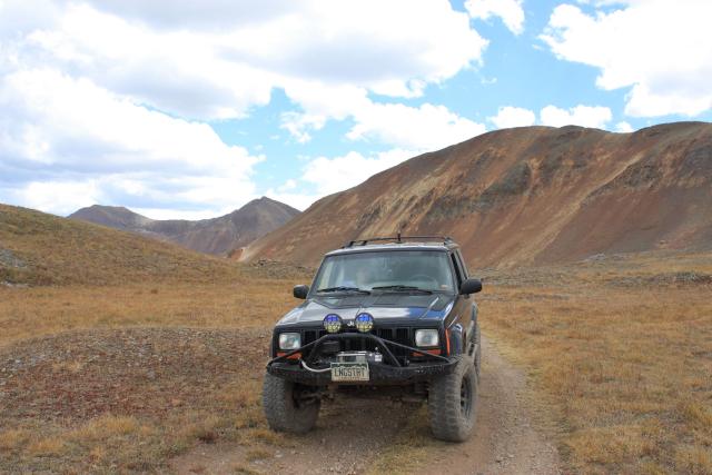
Amanda took this photo of me at the point
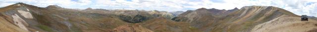
Here’s a 360 degreee panoramic photo from the overlook
Before reaching the pass, I had to stop and get a few photos from Oh! Point, as usual.
Looking down on Mineral Point
Darley Mountain from Oh! Point
One more 360 degree panoramic photo from Oh! Point

Finally we reached Engineer Pass….stopped for a few photos and then headed down the other side.
Engineer Pass
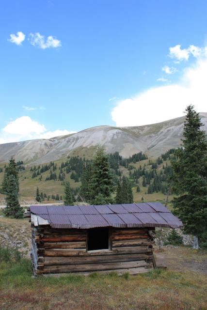
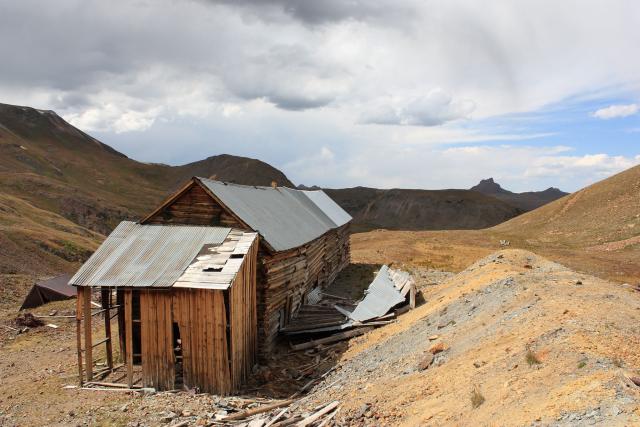
Cabin I took the short hike to along the way
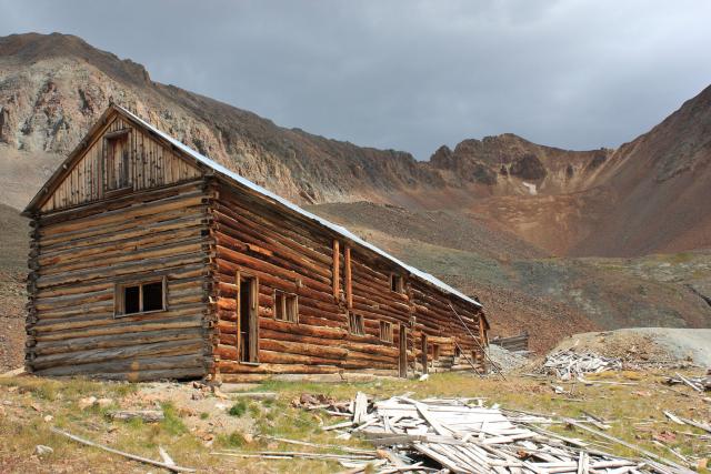
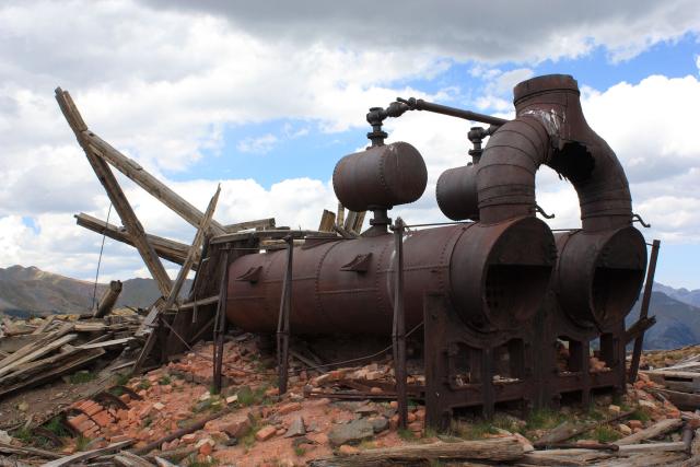
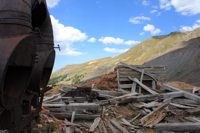
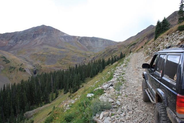
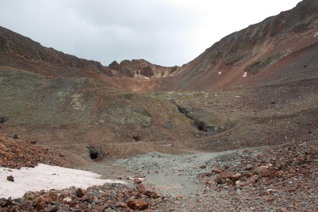
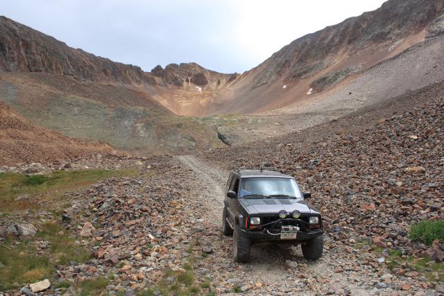
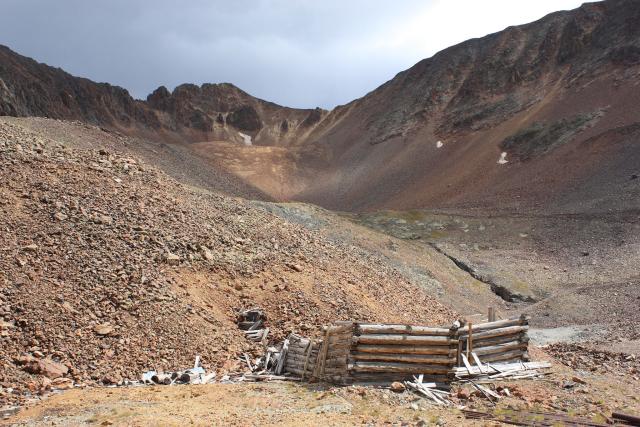
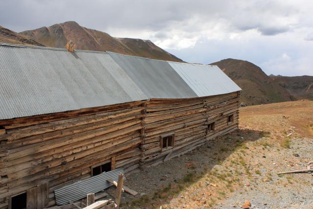
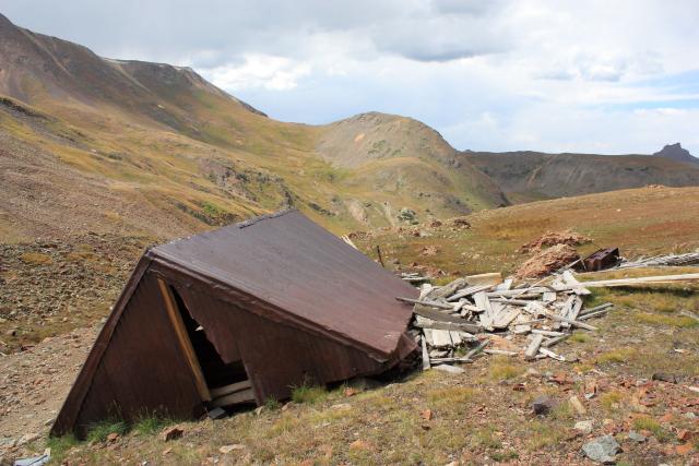
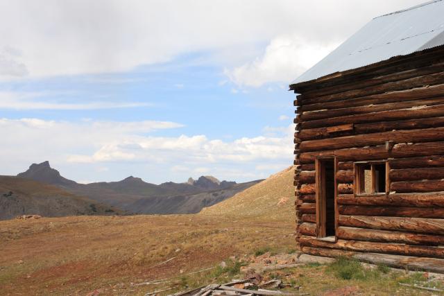
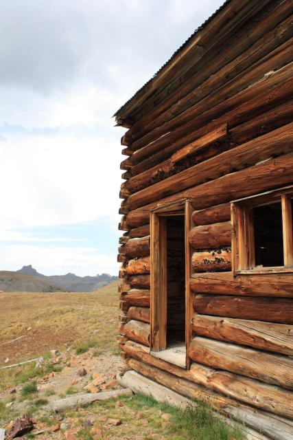
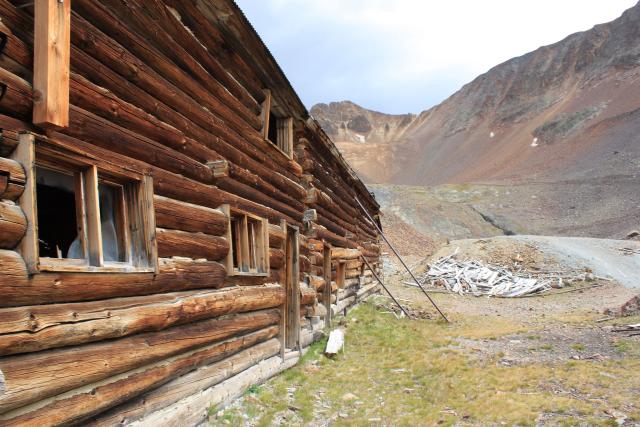
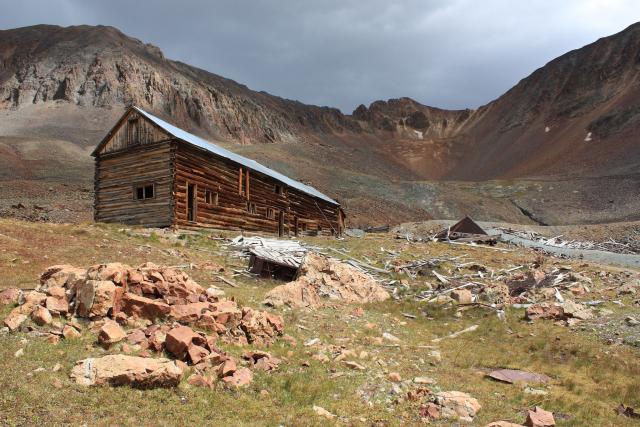
Our next spur trail lead us up into Schafer Gulch and Hurricane Basin. This was a cool side trip that ended by an old mine. Here was the large building (I’m guessing a boarding house for the miners) that I saw from the overlook near Engineer Pass earlier. This building and basin were fun to photograph (even with the cloudy sky), so I ended up taking a bunch of photos…
Long shelf road
Road winding up to Hurricane Basin. There was a small waterfall barely visible in this photo…..I think it would be pretty cool to checkout during the spring runoff
A number of mine shafts up in the basin
Cabin ruins
The large building I spotted from the overlook

On our way back down from Hurricane Basin, it finally started to rain a little. It was starting to get late, so we decided to make our way home and bypass a few other spur trails we passed before reaching Lake City. I will have to return to finish exploring this last section some other time. As a shortcut on our way home, we took the Alpine Plateau Road from CO 149 to US 50. The weather wasn’t the greatest, so I didn’t stop for any photos, but it was a cool easy road that saved a bunch of miles on my return home.