IntrepidXpedition 2007 | Day 10
Saturday, July 28, 2007
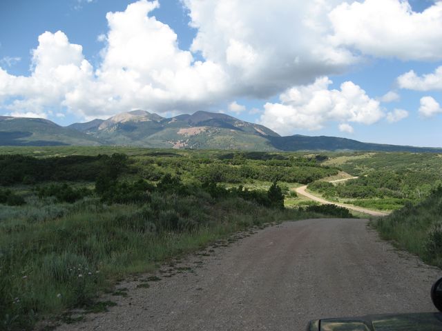
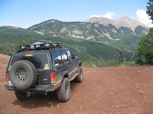
When I woke up on that Saturday morning, I had been in Colorado for 9 full days. It was finally time to head out and move on to Utah. My destination for this day was the La Sal Mountains and Moab, Utah. I was planning on getting there via the Castleton-Gateway Road. In order to get to Gateway, I needed to cross over the passes to the Telluride side. I knew Black Bear still wasn’t opened yet, but had heard Ophir Pass was open again, so I decided to give Ophir a second chance. When I made it to the pass this time around, the road closed signs were gone, so I continued on down the other side towards the little town of Ophir.

After reaching Highway 145, I hopped on it and took it to 141 which led me to Gateway, Colorado. This is where I started the Utah portion of my trip.
The beginning of John Brown Canyon near Gateway, CO
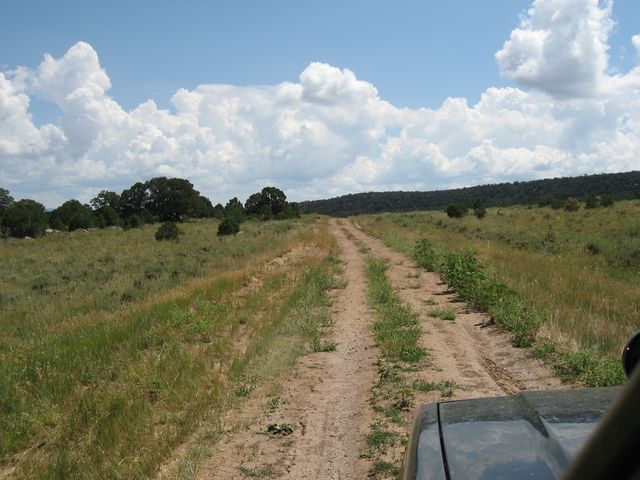
The trail heads up the canyon and then switchbacks out of it close to the Utah border. There are a number of side roads in the area that lead to old Uranium mines. This area was a big Uranium mining area at one time, and there is a company that is starting up mining in the area again. Once out of the canyon I reached the intersection where I turned onto the Castleton-Gateway Road.
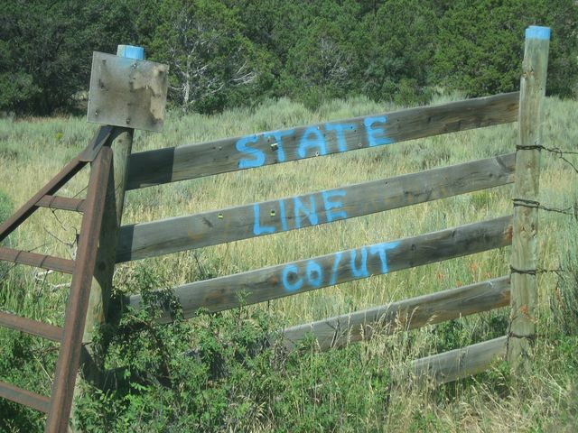
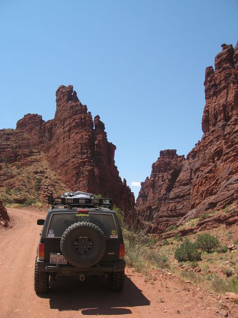
Crossing into Utah
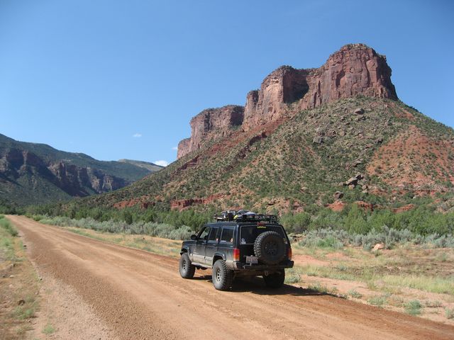
The Castleton-Gateway Road headed towards the La Sal Mountains
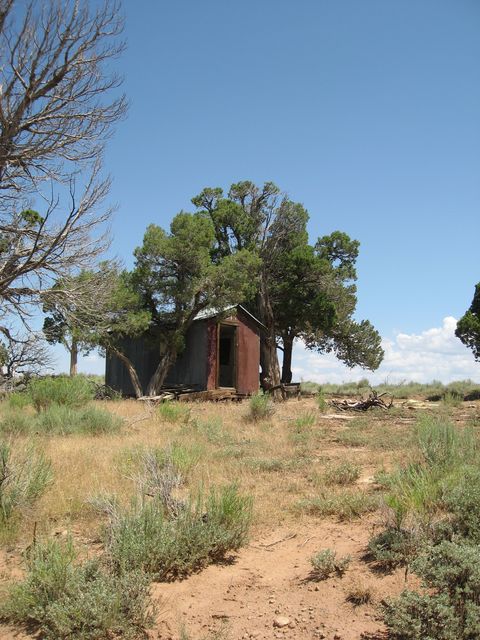
Once I reached the intersection that would lead me to Thompson Canyon, I was making pretty good time, so I decided to take the short spur trail to the top of Polar Mesa. This trail climbs on top of a high isolated plateau with the remains of an old uranium mining community.
Following the two-track on top of Polar Mesa
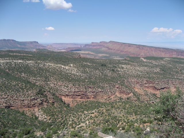
The view from the top of Polar Mesa over Thompson Canyon and into Fisher Valley in the distance
There are some older structures from the mining that took place on top of Polar Mesa
After checking out Polar Mesa, I retraced my route back to Thompson Canyon, which skirts around the base of Polar Mesa and follows the upper rim of the upper Fisher Valley.
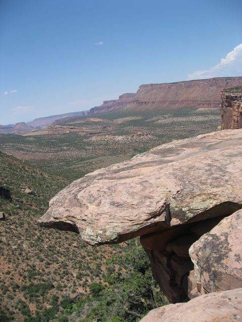
Thompson Canyon offers great views into Fisher Valley
Eventually The Thompson Canyon trails winds it’s way down to the Onion Creek trail in Fisher Valley.
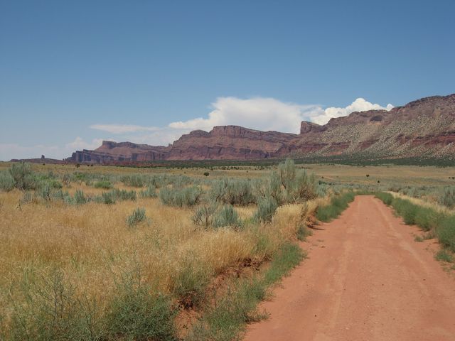
Down in Fisher Valley
There are numerous crossings of Onion Creek. Years ago the trail followed the creek bed, but today travel in the creek is not permitted.
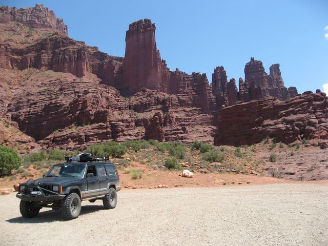
Once I made it to Highway 128, I decided to take the short drive up to Fisher Tower.
Fisher Tower from the parking area. There is a hiking trail here that I need to return to and check out.
When my short visit to Fisher Tower was complete, it was time for me to head into town and gas up. It was still early in the day, so I had plenty of time to do some more exploring up in the La Sal Mountains. My next destination was La Sal Pass. Since it was late July and Moab was pretty hot, I figured a great way to beat the heat would be to head up into the mountains.
Great views of the La Sals close up as I started up towards La Sal Pass
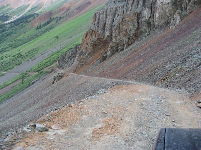
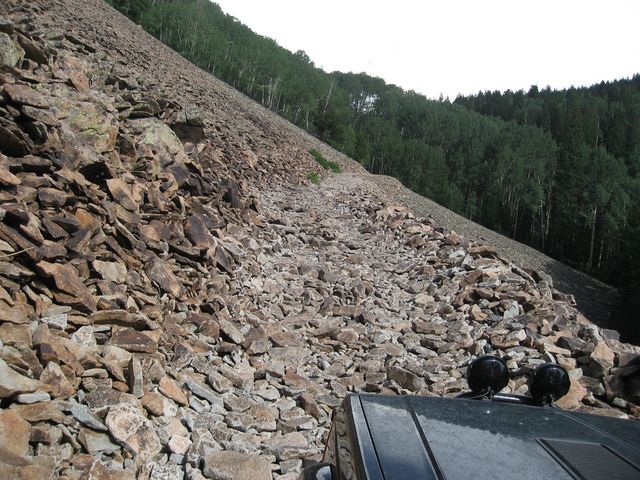
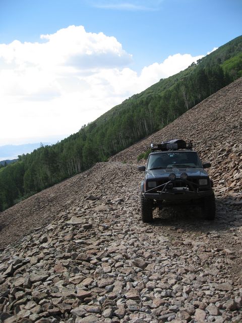
There were a number of narrow sections of the trail on the west side of the pass, but nothing terribly difficult. Eventually I reached this talus slope.
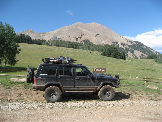
Soon I reached the 10,400 foot pass where there is a nice view of Mount Peale
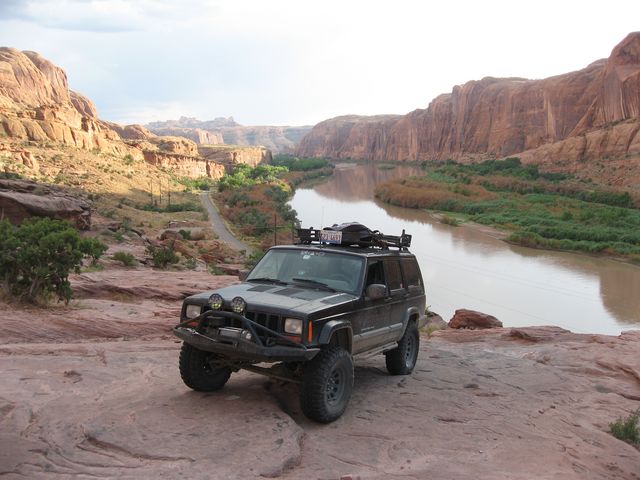
La Sal Pass was a very cool trail that is unlike the more popular trails in the Moab area. The road on the east side of the pass turned into wide gravel road which connected me to Geyser Pass and allowed me to loop back down into Moab. Since I had a little bit of time before the sun went down when I made it back into town, I decided to head up the first section of Moab Rim for a great view of the Colorado River.

I finished off the night with dinner at the Moab Brewery 🙂