IntrepidXpedition 2007 | Day 5
Monday, July 23, 2007
I got up very early again this day and it was turning out to be a very nice day. My first goal of the day was to check out the Alpine Loop. I started out by making my way over to Engineer Pass.
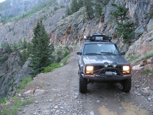
The trail starts out on a shelf road above the Uncomphagre River
Parked near the Mickey Breene Mine
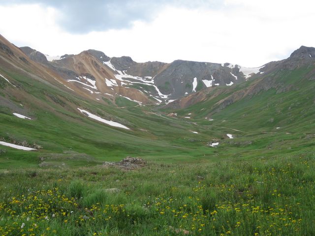
View of switchbacks on Darley Mountain….I need to get back there to hike that trail.
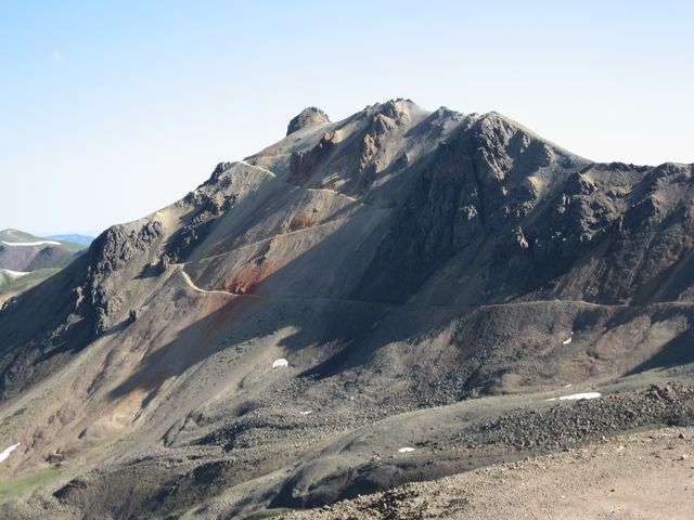
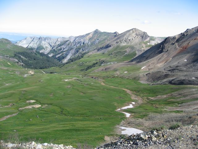
Great view from Oh! Point.
After reaching the pass and taking in the awesome views, it was time to head back down to Lake City.
Looking down Palmetto Gulch
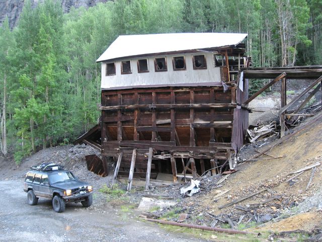
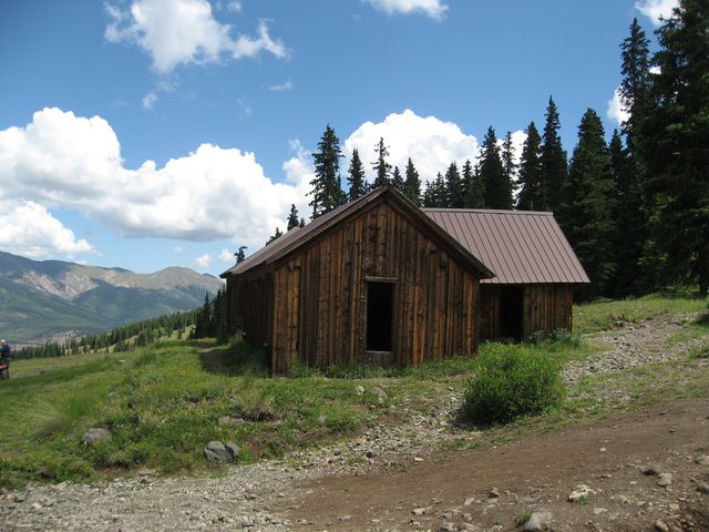
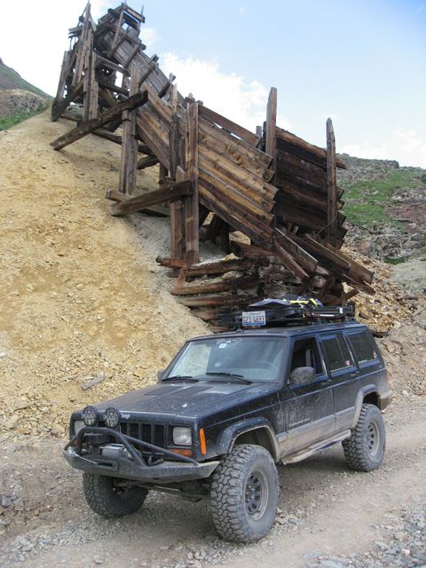
Empire Chief Mill
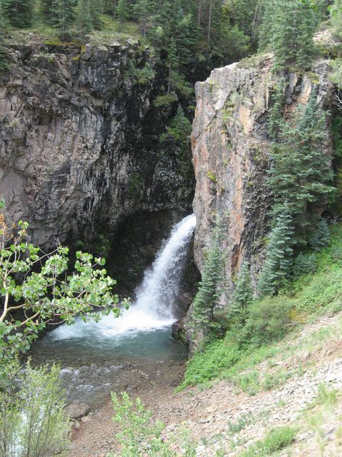
I stopped to checkout Whitmore Falls…next time I will have to hike down to it
Again, I made the stop in Lake City to fill up before heading up to Wager Gulch and the well preserved ghost town of Carson.
While visiting Carson, I had my lunch and then headed back down to complete the Alpine Loop via Cinnamon Pass. Cinnamon Pass was first discovered by Charles Baker in the early 1860s when he headed into the San Juans and triggered a minor gold rush.
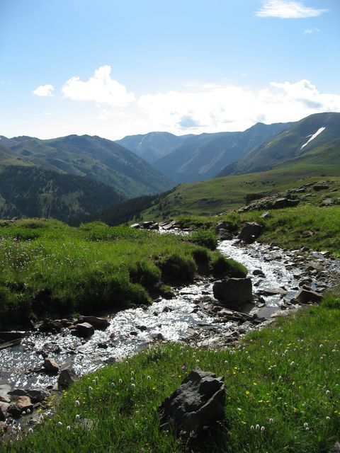
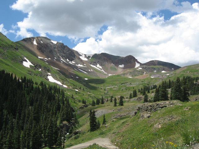
The scenery can’t be beat as I climbed up to the pass
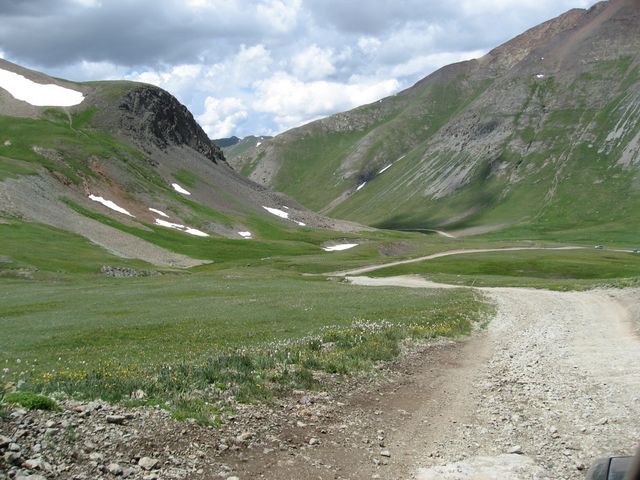
Looking down into Cinnamon Gulch from the pass
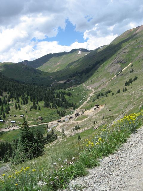
Headed down towards Animas Forks ghost town
I stopped in Animas Forks for a few before heading up Placer Gulch.
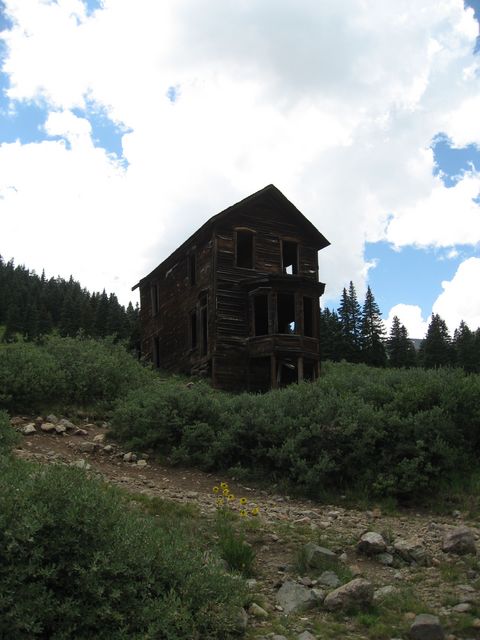
Duncan Residence in Animas Forks
My destination at this point was California Gulch, however, I ended up taking a wrong turn and headed up Placer Gulch instead. It was a nice detour that I am glad I ended up on.
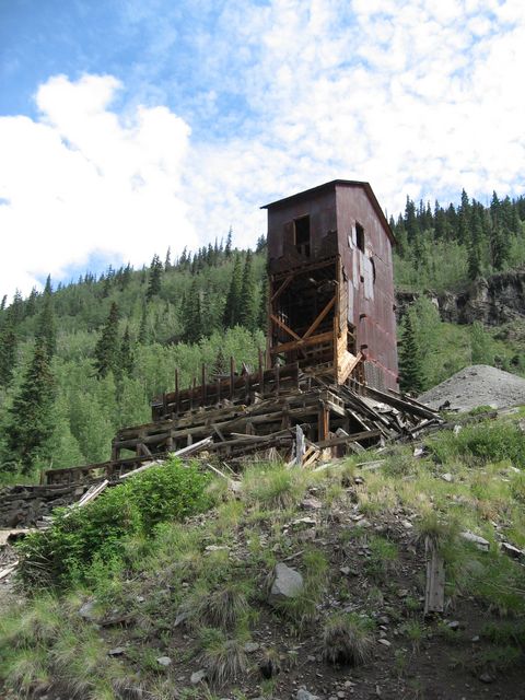
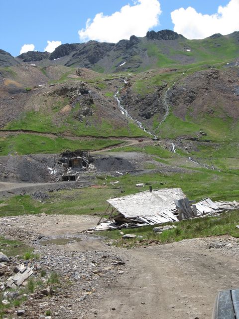
What’s left of the Gold Prince Mine operations at the end of Placer Gulch.
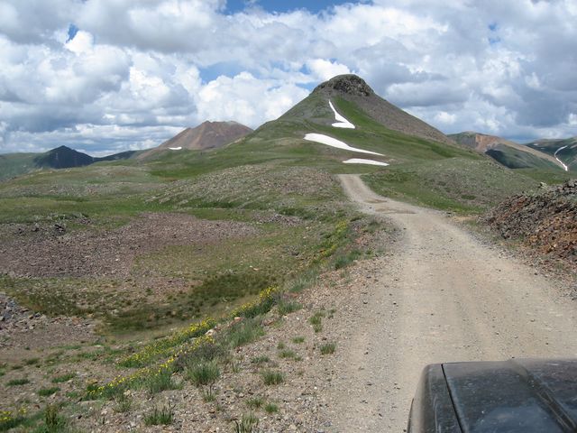
On top of Treasure Mountain crossing over to Picayne Gulch
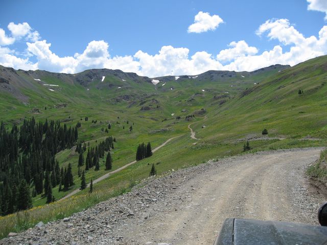
Headed down into Picayne Gulch where I met up with the Animas Forks road again.
Once back to Animas Forks I was still determined to make it up California Gulch that day, so I headed the right direction this time 😉 I was glad I did….California Gulch offered some great scenery.
Looking up California Gulch
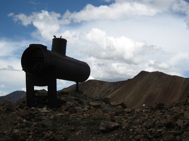
Heading up to California Pass I passed this boiler along the road
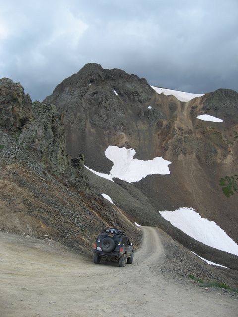
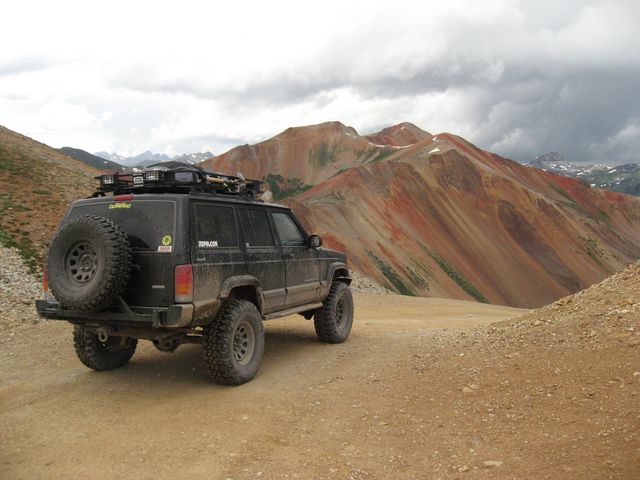
Ready to head down from California Pass……storm clouds started rolling in.
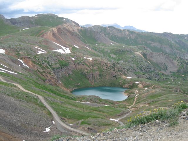
Great view of Lake Como from up there, too.
After making it down to Lake Como, it was time to head up to Hurricane Pass and over to Corkscrew Gulch.
Stopped for a photo near this structure shortly after Hurricane Pass.
View of Red Mountain Number 2 before heading down the switchbacks leading back to Highway 550
On my way back down to Highway 550, it started raining again. Once at the highway, I headed back to my campsite after a long day of exploring. There were definitely storms on the other side of the mountains in Telluride all night, but we managed to not get hit by those.
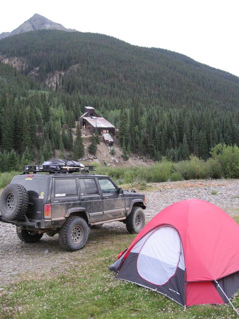
My campsite across the Animas River from the Lackawanna Mill